


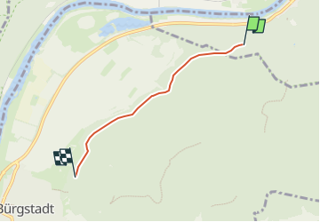

6,4 km | 9,9 km-effort

Tous les sentiers balisés d’Europe GUIDE+


Application GPS de randonnée GRATUITE
 SityTrail
IGN / Instituts géographiques
SityTrail World
Le monde est à vous
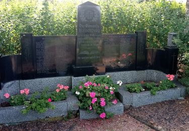
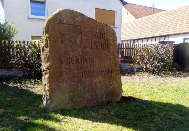
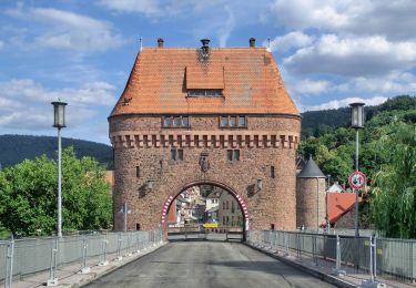
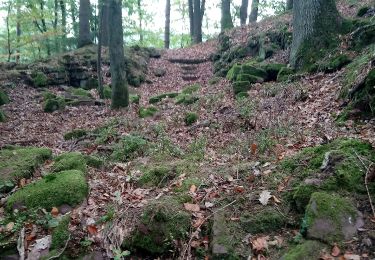
Randonnée A pied de 3,2 km à découvrir à Bade-Wurtemberg, Main-Tauber-Kreis, Freudenberg. Cette randonnée est proposée par SityTrail - itinéraires balisés pédestres.
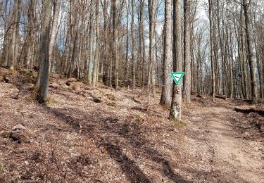
Symbole: blaues Schild mit weißer Schrift, in der Mitte durch eine weiße Linie getrennt. Obehalb "LT", darunter "1"
Site web: https://www.liebliches-taubertal.de/Aktiv/Wandern/Rundwanderungen/Wanderung-Nr-1-Zu-den-Heunesteinen.html


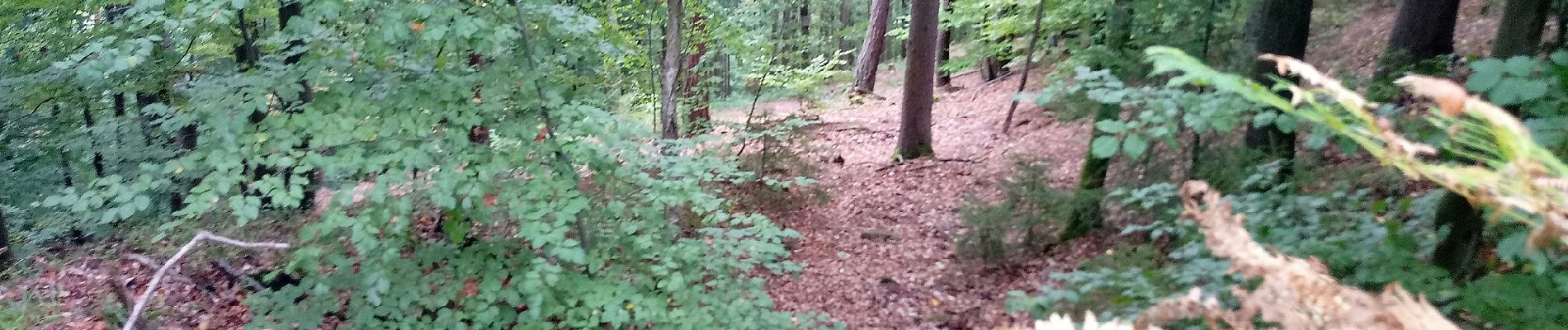
A pied
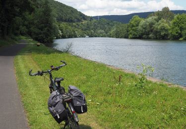
A pied

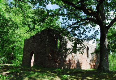
A pied
A pied
A pied
A pied
A pied
A pied
A pied