Randonnée A pied Willingen (Upland) - Hessenweg 6, Abschnitt Welleringhausen - Korbach - Photo

Hessenweg 6, Abschnitt Welleringhausen - Korbach

Tous les sentiers balisés d’Europe PRO

© OpenStreetMap contributors
Longueur
Longueur
12,7 km
Altitude max
Altitude max
531 m
Dénivelé positif
Dénivelé positif
206 m
Km-Effort
Km-Effort  
15,8 km
Altitude min
Altitude min
371 m
Dénivelé négatif
Dénivelé négatif
310 m
Boucle
Boucle
Non
Balise
Balise
Date de création :
2022-02-11 19:20:07.696
Dernière modification :
2022-02-11 19:20:07.696

(0 Avis)

A pied
A pied
3h35
Difficulté : Facile

Scannez ce code QR pour ouvrir la randonnée dans l'application SityTrail

Application GPS de randonnée GRATUITE

Logo SityTrail SityTrail

IGN / Instituts géographiques

Télécharger SityTrail sur l'App Store Télécharger SityTrail sur Google Play

Logo SityTrail SityTrail World

Le monde est à vous

Télécharger SityTrail sur l'App Store Télécharger SityTrail sur Google Play Télécharger SityTrail sur Huawei AppGallery

À propos

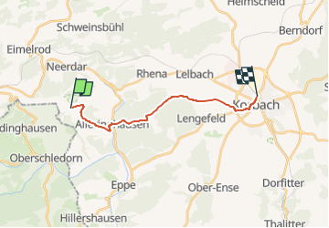
Randonnée A pied de 12,7 km à découvrir à Hesse, Landkreis Waldeck-Frankenberg, Willingen (Upland). Cette randonnée est proposée par SityTrail - itinéraires balisés pédestres.

Description

Randonnée créée par Wanderverband Hessen.


Site web: http://www.wanderverband-hessen.de/hessenwege.htm
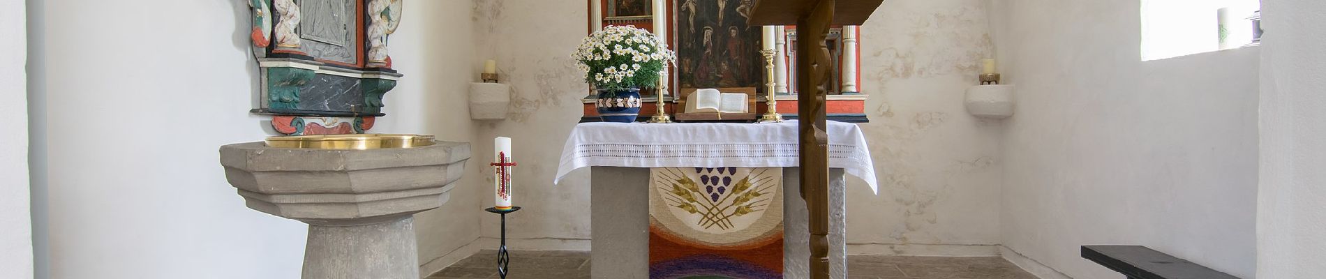
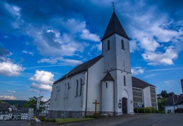
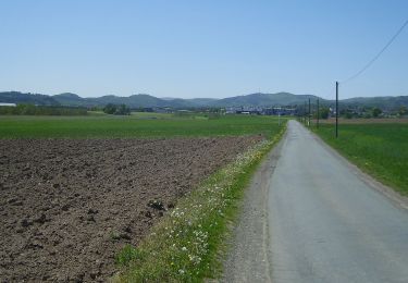
Photos

Localisation

Pays :
Allemagne
Région :
Hesse
Département/Province :
Landkreis Waldeck-Frankenberg
Commune :
Willingen (Upland)
Localité :
Unknown
Départ:(UTM)
481372 ; 5680169 (32U) N.

Randonnées à proximité

Randonnée A pied Medebach - Medebach - Oberschledorn V - Photo
A pied
PRO

A pied

Facile
Medebach, Rhénanie-du-Nord-Westphalie, Hochsauerlandkreis, Allemagne
7,5 km | 10,3 km-effort
2h 20min
Non
Randonnée A pied Korbach - Medebacher Bergweg - Photo
A pied
PRO

A pied

Facile
Korbach, Hesse, Landkreis Waldeck-Frankenberg, Allemagne
11,9 km | 15,4 km-effort
3h 29min
Non
Randonnée A pied Medebach - Oberschledorn Rundweg O3 Hirschtalweg - Photo
A pied
PRO

A pied

Facile
Medebach, Rhénanie-du-Nord-Westphalie, Hochsauerlandkreis, Allemagne
6,7 km | 9,1 km-effort
2h 4min
Oui
Randonnée A pied Medebach - Oberschledorn Rundweg O4 Hallebachtagweg - Photo
A pied
PRO

A pied

Facile
Medebach, Rhénanie-du-Nord-Westphalie, Hochsauerlandkreis, Allemagne
6,6 km | 8,8 km-effort
1h 59min
Oui
Randonnée A pied Medebach - Oberschledorn Rundweg O5 Wilde-Ah-Weg - Photo
A pied
PRO

A pied

Facile
Medebach, Rhénanie-du-Nord-Westphalie, Hochsauerlandkreis, Allemagne
6,2 km | 8,2 km-effort
1h 52min
Oui
Randonnée A pied Medebach - Oberschledorn Rundweg O1 Rohwiesenweg - Photo
A pied
PRO

A pied

Facile
Medebach, Rhénanie-du-Nord-Westphalie, Hochsauerlandkreis, Allemagne
4,7 km | 5,9 km-effort
1h 21min
Oui


Fermer
Mes abonnements