


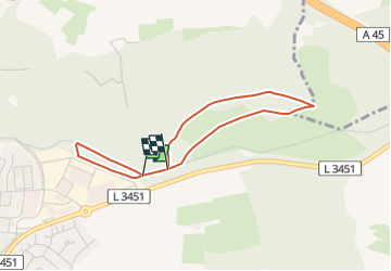

3,4 km | 4,4 km-effort


Tous les sentiers balisés d’Europe GUIDE+


Application GPS de randonnée GRATUITE
 SityTrail
IGN / Instituts géographiques
SityTrail World
Le monde est à vous
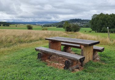
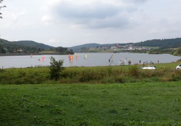
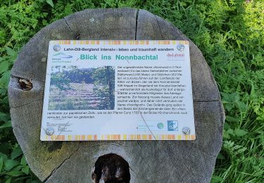
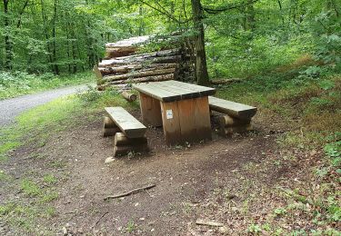
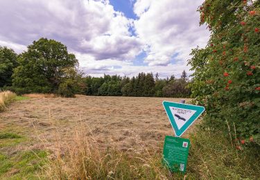
Randonnée A pied de 3 km à découvrir à Hesse, Lahn-Dill-Kreis, Wetzlar. Cette randonnée est proposée par SityTrail - itinéraires balisés pédestres.
Randonnée créée par Leitz-Park GmbH.
Symbole: red circle with white Leica


A pied
A pied
A pied
A pied
A pied
A pied
A pied
A pied
A pied