


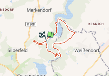

5,8 km | 7,2 km-effort

Tous les sentiers balisés d’Europe GUIDE+


Application GPS de randonnée GRATUITE
 SityTrail
IGN / Instituts géographiques
SityTrail World
Le monde est à vous
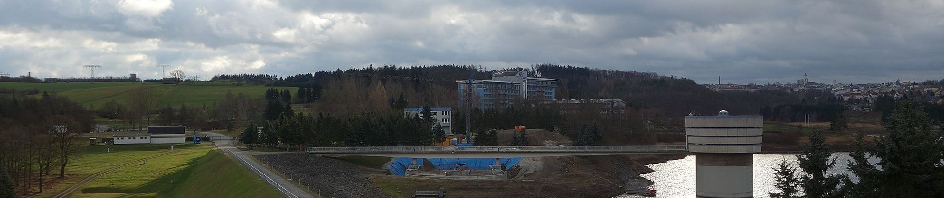
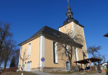
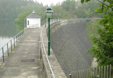
Randonnée A pied de 6,1 km à découvrir à Thuringe, Greiz, Zeulenroda-Triebes. Cette randonnée est proposée par SityTrail - itinéraires balisés pédestres.
Symbole: blue letter π (Pi) and red dot on top;all together on white ground


A pied
A pied
A pied
A pied