![](/images/other/stat-length.png)
![Randonnée A pied Schwepnitz - Energie-Entdeckerpfad - Photo](https://media.geolcdn.com/t/1900/400/779f7def-1c38-4444-afea-78601edc7937.jpeg&format=pjpeg&maxdim=2)
Energie-Entdeckerpfad
SityTrail - itinéraires balisés pédestres
Tous les sentiers balisés d’Europe GUIDE+
![Longueur](/images/other/stat-length.png)
Longueur
9,5 km
![Altitude max](https://static1.geolcdn.com/siteimages/upload/files/1508320355ic_sort_altitude_max_24dp.png)
Altitude max
154 m
![Dénivelé positif](https://static1.geolcdn.com/siteimages/upload/files/1508320355ic_sort_den_pos_24dp.png)
Dénivelé positif
60 m
![Km-Effort](/images/other/stat-length.png)
Km-Effort
10,3 km
![Altitude min](https://static1.geolcdn.com/siteimages/upload/files/1508320355ic_sort_altitude_min_24dp.png)
Altitude min
130 m
![Dénivelé négatif](https://static1.geolcdn.com/siteimages/upload/files/1508320355ic_sort_den_neg_24dp.png)
Dénivelé négatif
59 m
![Boucle](https://static1.geolcdn.com/siteimages/upload/files/16400158638029165_repeat_loop_refresh_sync_direction_icon.png)
Boucle
Oui
Balise
Date de création :
2022-02-11 19:13:04.398
Dernière modification :
2022-02-11 19:13:04.398
![A pied](https://static1.geolcdn.com/sitytour/trail-icons/100.png)
2h20
Difficulté : Facile
![Scannez ce code QR pour ouvrir la randonnée dans l'application SityTrail](https://capi.geolives.com/qq0zvz2zws4bq2lad0pu/sitytour/trails/3100426/qr.png?size=200)
Application GPS de randonnée GRATUITE
À propos
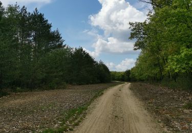
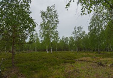
Randonnée A pied de 9,5 km à découvrir à Saxe, Bautzen, Schwepnitz. Cette randonnée est proposée par SityTrail - itinéraires balisés pédestres.
Description
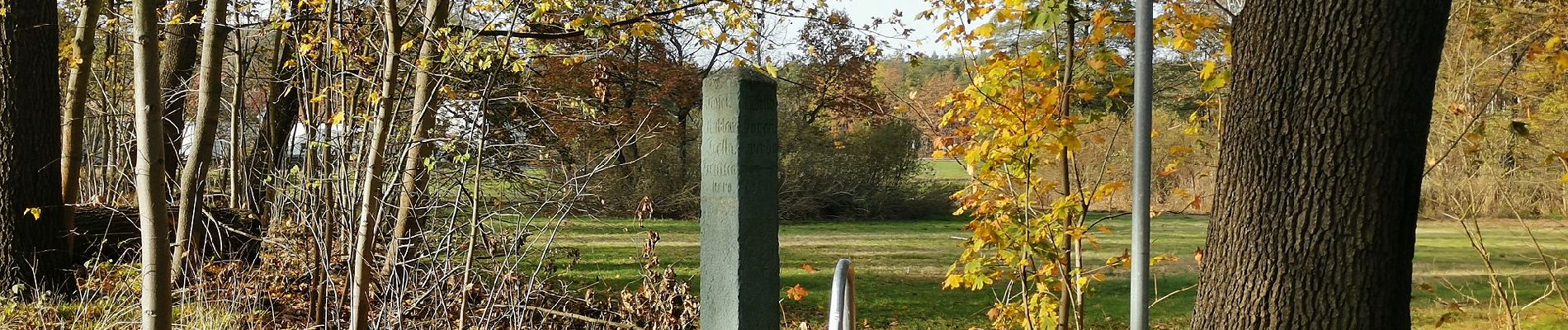
Route entspricht nicht der Darstellung auf den Infotafeln, da diese teils nicht der Realität entsprechen
Localisation
Pays :
Allemagne
Région :
Saxe
Département/Province :
Bautzen
Commune :
Schwepnitz
Localité :
Unknown
Départ:(Dec)
Départ:(UTM)
428518 ; 5690507 (33U) N.
Commentaires
Randonnées à proximité
![Randonnée A pied Hermsdorf - Rundweg Hermsdorf - Photo](https://media.geolcdn.com/t/375/260/562d6403-33fa-4508-997e-cb77345fface.jpeg&format=jpg&maxdim=2)
![A pied A pied](https://static1.geolcdn.com/sitytour/trail-icons/100.png)
Rundweg Hermsdorf
A pied
Facile
Hermsdorf,
Brandebourg,
Oberspreewald-Lausitz,
Allemagne
![](/images/other/stat-length.png)
4 km | 4,4 km-effort
59min
![](https://static1.geolcdn.com/siteimages/upload/files/16400158638029165_repeat_loop_refresh_sync_direction_icon.png)
Oui
![Randonnée A pied Bernsdorf - Schwepnitz - Waldbad Bernsdorf - Photo](https://media.geolcdn.com/t/375/260/300b2ebc-8466-4a3f-919e-f9ac8ea67bed.jpeg&format=jpg&maxdim=2)
![A pied A pied](https://static1.geolcdn.com/sitytour/trail-icons/100.png)
Schwepnitz - Waldbad Bernsdorf
A pied
Facile
Bernsdorf,
Saxe,
Bautzen,
Allemagne
![](/images/other/stat-length.png)
9,7 km | 10,7 km-effort
2h 26min
![](https://static1.geolcdn.com/siteimages/upload/files/16400158638029165_repeat_loop_refresh_sync_direction_icon.png)
Non
![Randonnée A pied Schwepnitz - Walschkenweg - Photo](https://media.geolcdn.com/t/375/260/c37347c6-8e63-46c0-9a56-fbdb3c1cd484.jpeg&format=jpg&maxdim=2)
![A pied A pied](https://static1.geolcdn.com/sitytour/trail-icons/100.png)
![Randonnée A pied Neukirch - Heidepfad](https://media.geolcdn.com/t/375/260/c627ad96-5e87-40a5-8bc1-3faa3a7b06e8.jpeg&format=jpg&maxdim=2)
![A pied A pied](https://static1.geolcdn.com/sitytour/trail-icons/100.png)
Heidepfad "Am alten Dorf"
A pied
Facile
Neukirch,
Saxe,
Bautzen,
Allemagne
![](/images/other/stat-length.png)
3 km | 3,2 km-effort
44min
![](https://static1.geolcdn.com/siteimages/upload/files/16400158638029165_repeat_loop_refresh_sync_direction_icon.png)
Non