


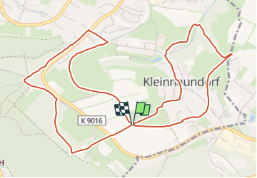

11,1 km | 14,4 km-effort

Tous les sentiers balisés d’Europe GUIDE+


Application GPS de randonnée GRATUITE
 SityTrail
IGN / Instituts géographiques
SityTrail World
Le monde est à vous
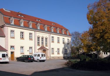
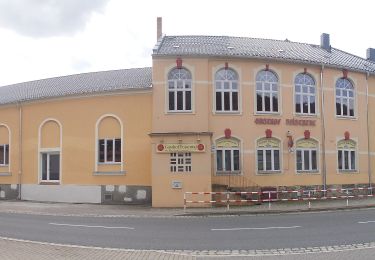
Randonnée A pied de 6,5 km à découvrir à Saxe, Sächsische Schweiz-Osterzgebirge, Freital. Cette randonnée est proposée par SityTrail - itinéraires balisés pédestres.
Symbole: neu grüne 4 - alt: Grüne Tanne im grünen Ring auf weißem Grund
Site web: https://www.kleinnaundorf.de/auf-schusters-rappen/


A pied
A pied
A pied
A pied

A pied

A pied
A pied
A pied