


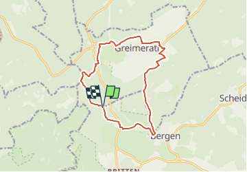

10 km | 13,6 km-effort


Tous les sentiers balisés d’Europe GUIDE+


Application GPS de randonnée GRATUITE
 SityTrail
IGN / Instituts géographiques
SityTrail World
Le monde est à vous
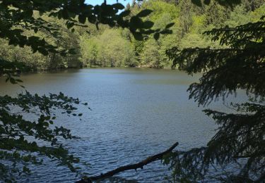
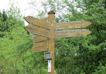
Randonnée A pied de 13,2 km à découvrir à Sarre, Landkreis Merzig-Wadern, Losheim am See. Cette randonnée est proposée par SityTrail - itinéraires balisés pédestres.
Randonnée créée par Hunsrueck-Touristik.
Symbole: blue:blue::SH Greimerather Höhenweg:white


A pied
A pied
A pied
A pied
A pied

A pied