


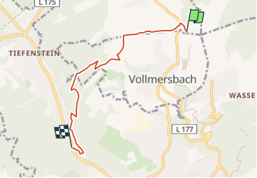

3,8 km | 5,1 km-effort

Tous les sentiers balisés d’Europe GUIDE+


Application GPS de randonnée GRATUITE
 SityTrail
IGN / Instituts géographiques
SityTrail World
Le monde est à vous
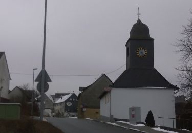
Randonnée A pied de 4,7 km à découvrir à Rhénanie-Palatinat, Landkreis Birkenfeld, Veitsrodt. Cette randonnée est proposée par SityTrail - itinéraires balisés pédestres.
Symbole: Weißes Schild mit orangem Rechteck, darin verschlungenes "SH", darunter "Saar-Hunsrück", darunter "Steig". Ganz unten, im weißen Bereich "Zuwegung"


A pied
A pied

A pied
A pied

Course à pied