


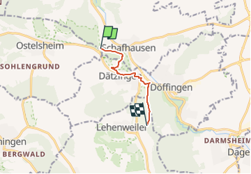

12,2 km | 15,2 km-effort

Tous les sentiers balisés d’Europe GUIDE+


Application GPS de randonnée GRATUITE
 SityTrail
IGN / Instituts géographiques
SityTrail World
Le monde est à vous
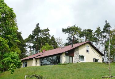
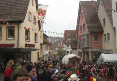
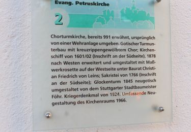
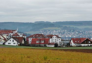
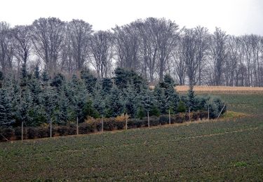
Randonnée A pied de 5 km à découvrir à Bade-Wurtemberg, Landkreis Böblingen, Weil der Stadt. Cette randonnée est proposée par SityTrail - itinéraires balisés pédestres.
Randonnée créée par Schwarzwaldverein.
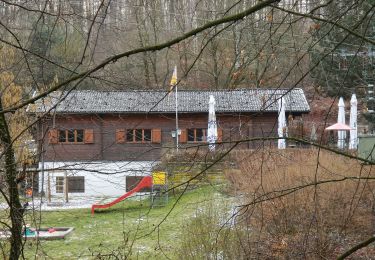
SWV Gelbe Raute, Aidlingen Am Kieneberg - Steckental
Symbole: Gelbe Raute auf weißem Grund


A pied
A pied
A pied
A pied
A pied
A pied
A pied
A pied
A pied