


10,8 km | 14,4 km-effort

Tous les sentiers balisés d’Europe GUIDE+


Application GPS de randonnée GRATUITE
 SityTrail
IGN / Instituts géographiques
SityTrail World
Le monde est à vous
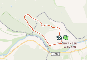
Randonnée A pied de 5,5 km à découvrir à Saxe-Anhalt, Burgenlandkreis, Nebra (Unstrut). Cette randonnée est proposée par SityTrail - itinéraires balisés pédestres.
Randonnée créée par Naturpark Saale-Unstrut-Triasland.
bisher nur Westseite ausgeschildert
Site web: http://www.naturpark-saale-unstrut.de/de/
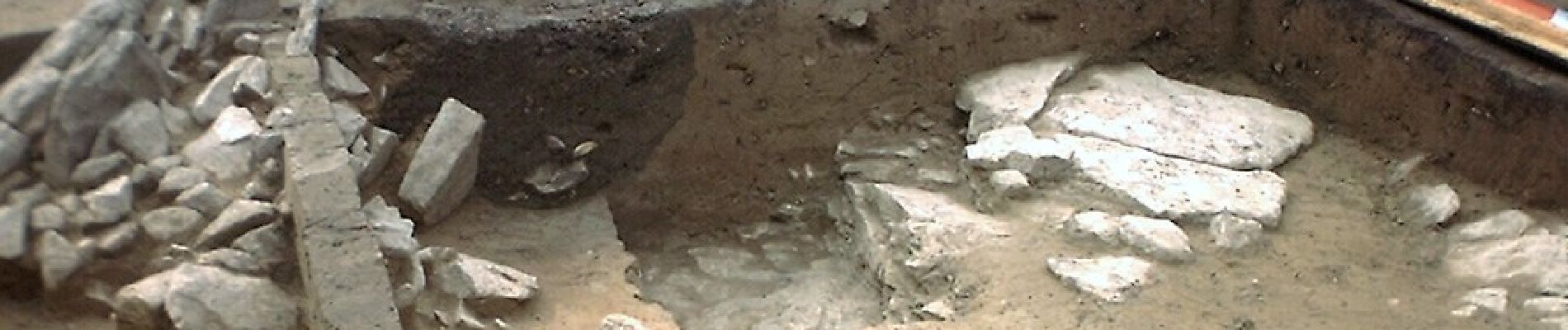
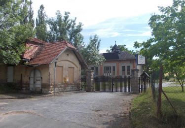
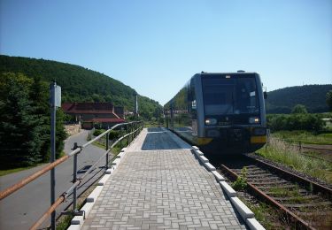
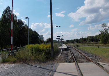
 - Arche-Rundweg - Photo 1")
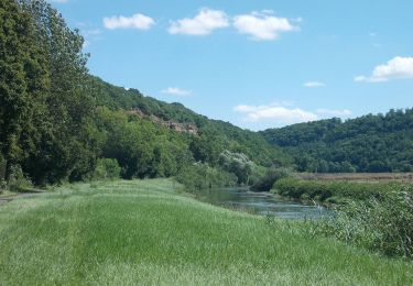
 - Arche-Rundweg - Photo 2")
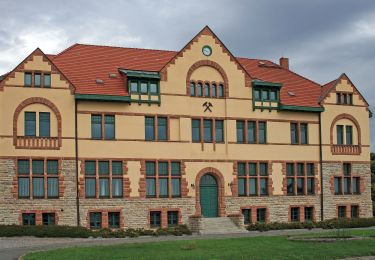
 - Arche-Rundweg - Photo 3")
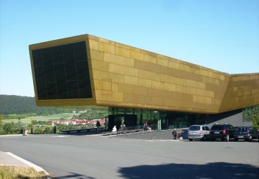
 - Arche-Rundweg - Photo 4")
 - Arche-Rundweg - Photo 5")
 - Arche-Rundweg - Photo 6")
 - Arche-Rundweg - Photo 7")
 - Arche-Rundweg - Photo 8")
 - Arche-Rundweg - Photo 9")
 - Arche-Rundweg - Photo 10")
A pied
A pied
A pied
A pied
A pied
A pied