


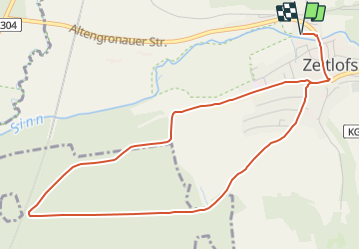

5,8 km | 7,3 km-effort


Tous les sentiers balisés d’Europe GUIDE+


Application GPS de randonnée GRATUITE
 SityTrail
IGN / Instituts géographiques
SityTrail World
Le monde est à vous
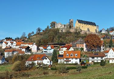
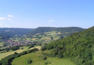
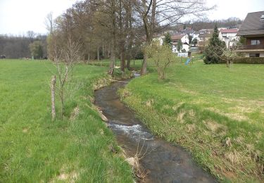
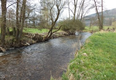
Randonnée A pied de 5,2 km à découvrir à Bavière, Landkreis Bad Kissingen, Zeitlofs. Cette randonnée est proposée par SityTrail - itinéraires balisés pédestres.
Symbole: Weiße 1 auf blauem Hintergrund
Site web: https://www.rhoenfuehrer.de/aktivitaeten/wandern/167/sinntal
A pied
A pied
A pied
A pied
A pied
A pied

A pied
A pied