Randonnée A pied Schönau (Pfalz) - Graf-Zeppelin-Weg - Photo

Tous les sentiers balisés d’Europe PRO

© OpenStreetMap contributors
Longueur
Longueur
7,3 km
Altitude max
Altitude max
414 m
Dénivelé positif
Dénivelé positif
240 m
Km-Effort
Km-Effort  
10,6 km
Altitude min
Altitude min
214 m
Dénivelé négatif
Dénivelé négatif
249 m
Boucle
Boucle
Oui
Balise
Balise
Date de création :
2022-02-11 17:44:25.206
Dernière modification :
2022-02-11 17:44:25.206

(0 Avis)

A pied
A pied
2h24
Difficulté : Facile

Scannez ce code QR pour ouvrir la randonnée dans l'application SityTrail

Application GPS de randonnée GRATUITE

Logo SityTrail SityTrail

IGN / Instituts géographiques

Télécharger SityTrail sur l'App Store Télécharger SityTrail sur Google Play

Logo SityTrail SityTrail World

Le monde est à vous

Télécharger SityTrail sur l'App Store Télécharger SityTrail sur Google Play Télécharger SityTrail sur Huawei AppGallery

À propos

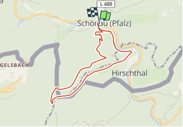
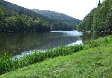
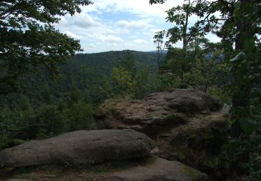
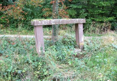
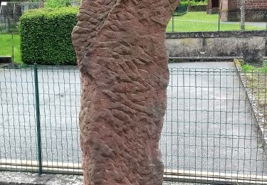
Randonnée A pied de 7,3 km à découvrir à Rhénanie-Palatinat, Südwestpfalz, Schönau (Pfalz). Cette randonnée est proposée par SityTrail - itinéraires balisés pédestres.

Description

Randonnée créée par Tourist Information Dahner Felsenland.

Symbole: Stilisierter weißer Zeppelin über zwei Hügeln auf rotem Grund mit weißer Unterschrift "Graf-Zeppelin-Weg"
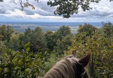
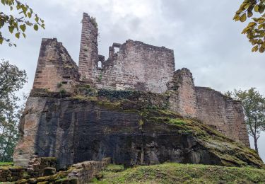
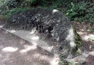
Photos

Localisation

Pays :
Allemagne
Région :
Rhénanie-Palatinat
Département/Province :
Südwestpfalz
Commune :
Schönau (Pfalz)
Localité :
Unknown
Départ:(UTM)
408376 ; 5434827 (32U) N.

Randonnées à proximité

Randonnée Marche Lembach - Fleckenstein, circuit des 5 châteaux. - Photo
Marche
mitch1915

Marche

Difficile
(1)
Lembach, Grand Est, Bas-Rhin, France
15,6 km | 25 km-effort
5h 6min
Oui
Randonnée A pied Lembach - Anneau jaune - Photo
A pied
PRO

A pied

Facile
Lembach, Grand Est, Bas-Rhin, France
6,4 km | 9,3 km-effort
2h 6min
Oui
Randonnée A pied Lembach - Croix rouge - Photo
A pied
PRO

A pied

Facile
Lembach, Grand Est, Bas-Rhin, France
4 km | 5,5 km-effort
1h 15min
Oui
Randonnée A pied Wingen - Triangle rouge - Photo
A pied
PRO

A pied

Facile
Wingen, Grand Est, Bas-Rhin, France
7,5 km | 10,8 km-effort
2h 27min
Non
Randonnée A pied Lembach - Anneau bleu - Photo
A pied
PRO

A pied

Facile
Lembach, Grand Est, Bas-Rhin, France
3,7 km | 5,4 km-effort
1h 14min
Oui
Randonnée A pied Niedersteinbach - Losange jaune - Photo
A pied
PRO

A pied

Facile
Niedersteinbach, Grand Est, Bas-Rhin, France
3,5 km | 5,1 km-effort
1h 9min
Non
Randonnée A pied Niedersteinbach - Anneau bleu - Photo
A pied
PRO

A pied

Facile
Niedersteinbach, Grand Est, Bas-Rhin, France
3,9 km | 6,8 km-effort
1h 32min
Oui
Randonnée A pied Niedersteinbach - Anneau jaune - Photo
A pied
PRO

A pied

Facile
Niedersteinbach, Grand Est, Bas-Rhin, France
3,4 km | 4,9 km-effort
1h 6min
Oui
Randonnée A pied Obersteinbach - Anneau jaune - Photo
A pied
PRO

A pied

Facile
Obersteinbach, Grand Est, Bas-Rhin, France
3,8 km | 6,2 km-effort
1h 25min
Oui


Fermer
Mes abonnements