


15,6 km | 25 km-effort

Tous les sentiers balisés d’Europe GUIDE+


Application GPS de randonnée GRATUITE
 SityTrail
IGN / Instituts géographiques
SityTrail World
Le monde est à vous
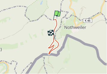
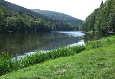
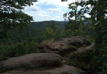
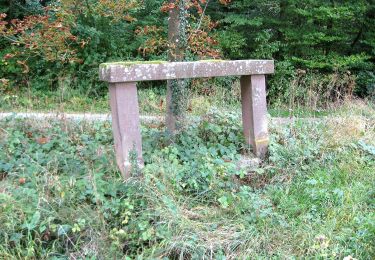
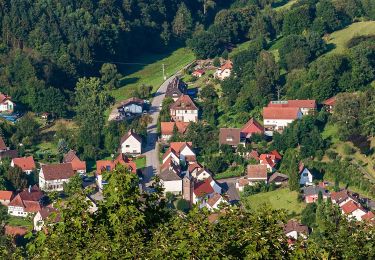
Randonnée A pied de 3,1 km à découvrir à Rhénanie-Palatinat, Südwestpfalz, Schönau (Pfalz). Cette randonnée est proposée par SityTrail - itinéraires balisés pédestres.
Randonnée créée par Tourist Information Dahner Felsenland.
Symbole: Stilisierter weißer Salztrippler (Person mit Rucksack und Stock in der Hand) auf blauem Grund mit weißer Unterschrift "Salztrippler-Tour"
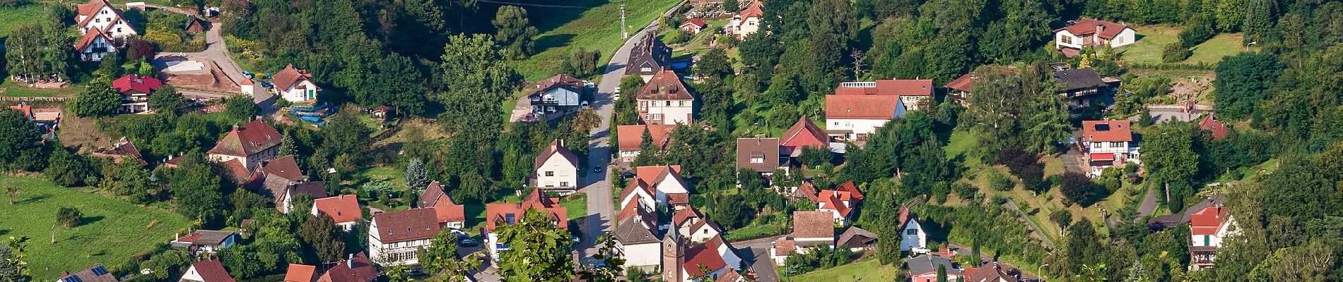
 - Salztrippler-Tour - Photo 1")
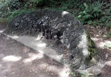
 - Salztrippler-Tour - Photo 2")
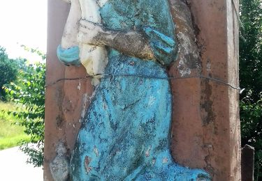
 - Salztrippler-Tour - Photo 3")
 - Salztrippler-Tour - Photo 4")
 - Salztrippler-Tour - Photo 5")
 - Salztrippler-Tour - Photo 6")
 - Salztrippler-Tour - Photo 7")

Marche
A pied

A pied

A pied
A pied