

Rehbachtal-Weg KU 74
SityTrail - itinéraires balisés pédestres
Tous les sentiers balisés d’Europe GUIDE+

Longueur
7,6 km

Altitude max
596 m

Dénivelé positif
139 m

Km-Effort
9,5 km

Altitude min
491 m

Dénivelé négatif
146 m
Boucle
Oui
Balise
Date de création :
2022-02-11 17:08:21.206
Dernière modification :
2022-02-11 17:08:21.206
2h09
Difficulté : Facile

Application GPS de randonnée GRATUITE
À propos
Randonnée A pied de 7,6 km à découvrir à Bavière, Landkreis Kulmbach, Marktleugast. Cette randonnée est proposée par SityTrail - itinéraires balisés pédestres.
Description
Randonnée créée par Frankenwaldverein.
Localisation
Pays :
Allemagne
Région :
Bavière
Département/Province :
Landkreis Kulmbach
Commune :
Marktleugast
Localité :
Unknown
Départ:(Dec)
Départ:(UTM)
686279 ; 5564067 (32U) N.
Commentaires
Randonnées à proximité
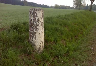
Brunnen-Weg KU 71


A pied
Facile
Marktleugast,
Bavière,
Landkreis Kulmbach,
Allemagne

4,8 km | 6,6 km-effort
1h 29min
Non

Drei-Brücken-Weg KU 23


A pied
Facile
Guttenberg,
Bavière,
Landkreis Kulmbach,
Allemagne

10,9 km | 15,5 km-effort
3h 31min
Oui
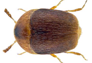
Steinachklamm-Weg KU 52


A pied
Facile
Stadtsteinach,
Bavière,
Landkreis Kulmbach,
Allemagne

11,2 km | 15,7 km-effort
3h 34min
Oui

Zur Weidmeser Höhe KU 72


A pied
Facile
Grafengehaig,
Bavière,
Landkreis Kulmbach,
Allemagne

14,8 km | 19 km-effort
4h 18min
Oui
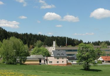
Eng-Weg OS17


A pied
Facile
Helmbrechts,
Bavière,
Landkreis Hof,
Allemagne

8,6 km | 10,6 km-effort
2h 24min
Non
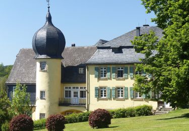
Siebenfreund-Weg


A pied
Facile
Presseck,
Bavière,
Landkreis Kulmbach,
Allemagne

5 km | 6,5 km-effort
1h 28min
Non

Eulenspiegel-Weg KU 56


A pied
Facile
Presseck,
Bavière,
Landkreis Kulmbach,
Allemagne

6,2 km | 9,1 km-effort
2h 4min
Oui
Mühlenweg


A pied
Moyen
Presseck,
Bavière,
Landkreis Kulmbach,
Allemagne

16,2 km | 21 km-effort
4h 46min
Oui
Bürgermeisterweg Marktleugast


A pied
Difficile
Marktleugast,
Bavière,
Landkreis Kulmbach,
Allemagne

29 km | 38 km-effort
8h 41min
Oui


 SityTrail


