![](/images/other/stat-length.png)
![Randonnée A pied Schotten - Eichelsachsen - Spur der Natur (Hauptweg) - Photo](https://media.geolcdn.com/t/1900/400/0e083fcb-a9dc-4650-8a3b-da30bab8865f.jpeg&format=pjpeg&maxdim=2)
Eichelsachsen - Spur der Natur (Hauptweg)
SityTrail - itinéraires balisés pédestres
Tous les sentiers balisés d’Europe GUIDE+
![Longueur](/images/other/stat-length.png)
![Altitude max](https://static1.geolcdn.com/siteimages/upload/files/1508320355ic_sort_altitude_max_24dp.png)
![Dénivelé positif](https://static1.geolcdn.com/siteimages/upload/files/1508320355ic_sort_den_pos_24dp.png)
![Km-Effort](/images/other/stat-length.png)
![Altitude min](https://static1.geolcdn.com/siteimages/upload/files/1508320355ic_sort_altitude_min_24dp.png)
![Dénivelé négatif](https://static1.geolcdn.com/siteimages/upload/files/1508320355ic_sort_den_neg_24dp.png)
![Boucle](https://static1.geolcdn.com/siteimages/upload/files/16400158638029165_repeat_loop_refresh_sync_direction_icon.png)
![A pied](https://static1.geolcdn.com/sitytour/trail-icons/100.png)
2h55
Difficulté : Facile
![Scannez ce code QR pour ouvrir la randonnée dans l'application SityTrail](https://capi.geolives.com/qq0zvz2zws4bq2lad0pu/sitytour/trails/3097357/qr.png?size=200)
Application GPS de randonnée GRATUITE
À propos
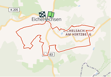
Randonnée A pied de 10,1 km à découvrir à Hesse, Vogelsbergkreis, Schotten. Cette randonnée est proposée par SityTrail - itinéraires balisés pédestres.
Description
Randonnée créée par InitiativGruppe Eichelsachsen.
Eine alternative Verbindung ist noch nicht komplett
Symbole: Schwarze Fuchstatze auf gelbem Hintergrund
Site web: http://www.eicheltal.de/ige.html
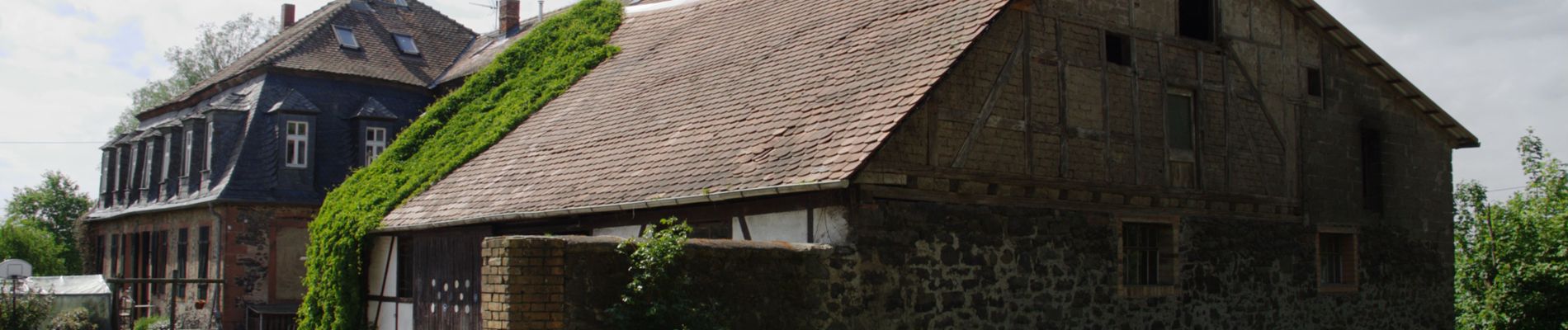
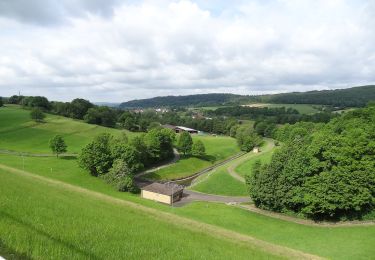
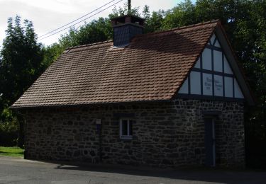
Localisation
Commentaires
Randonnées à proximité
![Randonnée A pied Schotten - Rundwanderweg Rainrod R2 - Photo](https://media.geolcdn.com/t/375/260/9aa226d7-ffac-480f-81ba-14986b0a79a5.jpeg&format=jpg&maxdim=2)
![A pied A pied](https://static1.geolcdn.com/sitytour/trail-icons/100.png)
A pied
![](/images/other/stat-length.png)
![](https://static1.geolcdn.com/siteimages/upload/files/16400158638029165_repeat_loop_refresh_sync_direction_icon.png)
![Randonnée A pied Schotten - Rundwanderweg Rainrod R1 - Photo](https://media.geolcdn.com/t/375/260/64291428-b116-4a2b-a097-30124e3546e8.jpeg&format=jpg&maxdim=2)
![A pied A pied](https://static1.geolcdn.com/sitytour/trail-icons/100.png)
A pied
![](/images/other/stat-length.png)
![](https://static1.geolcdn.com/siteimages/upload/files/16400158638029165_repeat_loop_refresh_sync_direction_icon.png)
![Randonnée A pied Schotten - Rundwanderweg Wingershausen W1 - Photo](https://media.geolcdn.com/t/375/260/9bc93176-e043-4660-afe0-485c8b286378.jpeg&format=jpg&maxdim=2)
![A pied A pied](https://static1.geolcdn.com/sitytour/trail-icons/100.png)
A pied
![](/images/other/stat-length.png)
![](https://static1.geolcdn.com/siteimages/upload/files/16400158638029165_repeat_loop_refresh_sync_direction_icon.png)
![Randonnée A pied Schotten - Rundwanderweg Rainrod R3 - Photo](https://media.geolcdn.com/t/375/260/64291428-b116-4a2b-a097-30124e3546e8.jpeg&format=jpg&maxdim=2)
![A pied A pied](https://static1.geolcdn.com/sitytour/trail-icons/100.png)
A pied
![](/images/other/stat-length.png)
![](https://static1.geolcdn.com/siteimages/upload/files/16400158638029165_repeat_loop_refresh_sync_direction_icon.png)
![Randonnée A pied Schotten - Rundwanderweg Eschenrod E2 - Photo](https://media.geolcdn.com/t/375/260/b4f04a27-8be2-4bdd-b4ea-141d17fef8fa.jpeg&format=jpg&maxdim=2)
![A pied A pied](https://static1.geolcdn.com/sitytour/trail-icons/100.png)
A pied
![](/images/other/stat-length.png)
![](https://static1.geolcdn.com/siteimages/upload/files/16400158638029165_repeat_loop_refresh_sync_direction_icon.png)
![Randonnée A pied Schotten - Eichelsachsen - Spur der Natur - Photo](https://media.geolcdn.com/t/375/260/0e083fcb-a9dc-4650-8a3b-da30bab8865f.jpeg&format=jpg&maxdim=2)
![A pied A pied](https://static1.geolcdn.com/sitytour/trail-icons/100.png)
A pied
![](/images/other/stat-length.png)
![](https://static1.geolcdn.com/siteimages/upload/files/16400158638029165_repeat_loop_refresh_sync_direction_icon.png)
![Randonnée A pied Nidda - NaturTour Nidda - Photo](https://media.geolcdn.com/t/375/260/a73638ae-4190-4cf1-8366-605b5385f76c.jpeg&format=jpg&maxdim=2)
![A pied A pied](https://static1.geolcdn.com/sitytour/trail-icons/100.png)
A pied
![](/images/other/stat-length.png)
![](https://static1.geolcdn.com/siteimages/upload/files/16400158638029165_repeat_loop_refresh_sync_direction_icon.png)