Randonnée Marche Hôpital-Camfrout - Troaon Tibidy et retour - Photo
 denisrlb
denisrlb

Utilisateur

© OpenStreetMap contributors
Longueur
Longueur
5,2 km
Altitude max
Altitude max
59 m
Dénivelé positif
Dénivelé positif
106 m
Km-Effort
Km-Effort  
6,6 km
Altitude min
Altitude min
1 m
Dénivelé négatif
Dénivelé négatif
101 m
Boucle
Boucle
Oui
Date de création :
2014-12-10 00:00:00.0
Dernière modification :
2014-12-10 00:00:00.0

(0 Avis)

Marche
Marche
1h03
Difficulté : Inconnu

Scannez ce code QR pour ouvrir la randonnée dans l'application SityTrail

Application GPS de randonnée GRATUITE

Logo SityTrail SityTrail

IGN / Instituts géographiques

Télécharger SityTrail sur l'App Store Télécharger SityTrail sur Google Play

Logo SityTrail SityTrail World

Le monde est à vous

Télécharger SityTrail sur l'App Store Télécharger SityTrail sur Google Play Télécharger SityTrail sur Huawei AppGallery

À propos

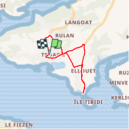
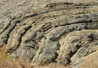
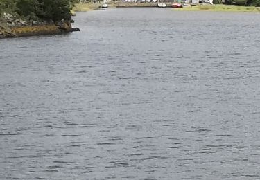
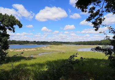
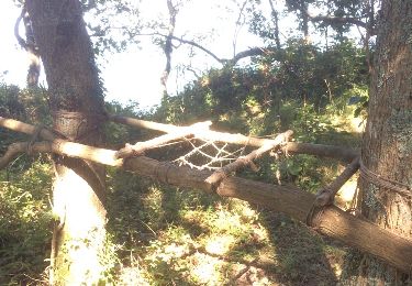
Randonnée Marche de 5,2 km à découvrir à Bretagne, Finistère, Hôpital-Camfrout. Cette randonnée est proposée par denisrlb.

Description

Goarem Mhein, rue du Nerhu, rue de Vorlen, Tibidy et retour par route de Tibidy, rue du Nerhu, rue des Mimosas, route de Goasqueliou, Menhir et Goarem Mhein

Profil altimétrique

Localisation

Pays :
France
Région :
Bretagne
Département/Province :
Finistère
Commune :
Hôpital-Camfrout
Localité :
Unknown
Départ:(Dec)
Départ:(UTM)
406510 ; 5351616 (30U) N.

Randonnées à proximité

Randonnée Marche Landévennec - Le tour de Landévennec Boucle 21 km - Photo
Marche
GUIDE
chessyca

Marche

Très difficile
Landévennec, Bretagne, Finistère, France
21 km | 28 km-effort
5h 10min
Oui
Randonnée Marche Landévennec - Landévennec - boucles locales et GR34 - 13.8km 250m 4h10 (35mn) - 2019 09 12 - Photo
Marche
GUIDE
Orcal37

Marche

Facile
Landévennec, Bretagne, Finistère, France
13,8 km | 17,2 km-effort
4h 10min
Oui
Randonnée Marche Landévennec - LANDÉVENNEC  - Photo
Marche
RonanDAGORN

Marche

Difficile
Landévennec, Bretagne, Finistère, France
19,4 km | 25 km-effort
4h 41min
Non
Randonnée A pied Logonna-Daoulas - Sentier Côtier - Photo
A pied
GUIDE+

A pied

Facile
Logonna-Daoulas, Bretagne, Finistère, France
9,7 km | 11,6 km-effort
2h 38min
Non
Randonnée Marche Hôpital-Camfrout - L'Hôpital-Camfrout. vers moulin mer - Photo
Marche
elianette

Marche

Difficile
Hôpital-Camfrout, Bretagne, Finistère, France
11,3 km | 13,2 km-effort
2h 2min
Oui
Randonnée Marche Logonna-Daoulas - Circuit de l'anse de Pen Foul. Logona. 06/07/20 - Photo
Marche
Dervalmarc

Marche

Très facile
(1)
Logonna-Daoulas, Bretagne, Finistère, France
5,6 km | 7 km-effort
1h 33min
Non
Randonnée Marche Argol - Térénez - Kerivin - Photo
Marche
cron

Marche

Très facile
(1)
Argol, Bretagne, Finistère, France
11,9 km | 15 km-effort
3h 15min
Oui
Randonnée Marche Landévennec - Presqu'île Crozon - Day 02 - Photo
Marche
remilefaou

Marche

Moyen
Landévennec, Bretagne, Finistère, France
23 km | 30 km-effort
5h 54min
Non
Randonnée Course à pied Hôpital-Camfrout - Footing au gîte de Guernevez 1 - Photo
Course à pied
christinebourgon

Course à pied

Moyen
Hôpital-Camfrout, Bretagne, Finistère, France
4,7 km | 5,9 km-effort
45min
Oui


Fermer
Mes abonnements