


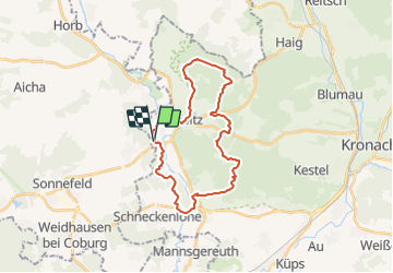

24 km | 33 km-effort

Tous les sentiers balisés d’Europe GUIDE+


Application GPS de randonnée GRATUITE
 SityTrail
IGN / Instituts géographiques
SityTrail World
Le monde est à vous
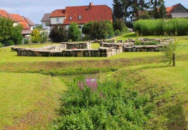
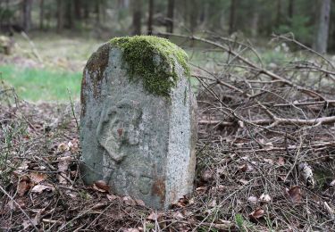
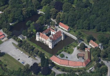
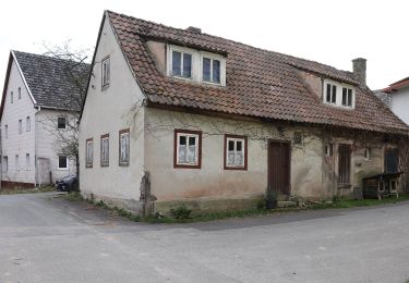
Randonnée A pied de 24 km à découvrir à Bavière, Landkreis Coburg, Sonnefeld. Cette randonnée est proposée par SityTrail - itinéraires balisés pédestres.
Randonnée créée par Frankenwaldverein e.V..
Symbole: Grüne KC 34 auf weißem Hintergrund
Site web: https://frankenwaldverein.de/


A pied
A pied
A pied
A pied
A pied
A pied
A pied