


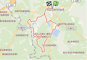

11,9 km | 16,1 km-effort

Tous les sentiers balisés d’Europe GUIDE+


Application GPS de randonnée GRATUITE
 SityTrail
IGN / Instituts géographiques
SityTrail World
Le monde est à vous
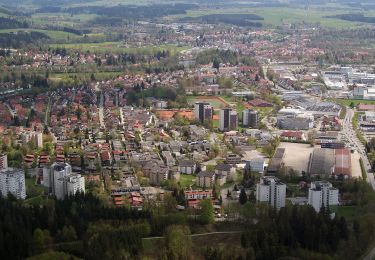
Randonnée A pied de 8,7 km à découvrir à Bade-Wurtemberg, Landkreis Ravensburg, Argenbühl. Cette randonnée est proposée par SityTrail - itinéraires balisés pédestres.
Randonnée créée par Argenbühl.
Symbole: Weiße 8 auf grünem Hintergrund
Site web: http://www.argenbuehl.de/index.php?Wandern
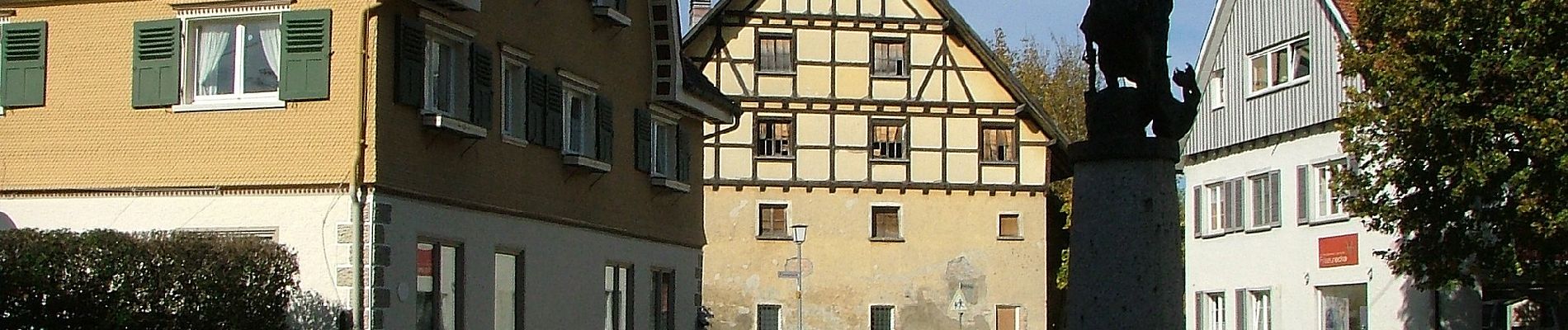
 - Photo 1")
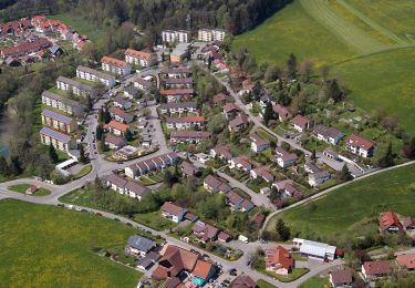
 - Photo 2")
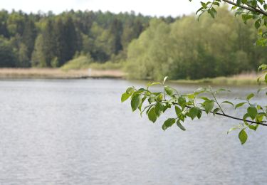
 - Photo 3")
 - Photo 4")
 - Photo 5")
 - Photo 6")
 - Photo 7")
 - Photo 8")
 - Photo 9")
 - Photo 10")
A pied
A pied
A pied
A pied
A pied
A pied

A pied