
Wanderweg 74
SityTrail - itinéraires balisés pédestres
Tous les sentiers balisés d’Europe GUIDE+

Longueur
9,7 km

Altitude max
1208 m

Dénivelé positif
543 m

Km-Effort
16,1 km

Altitude min
668 m

Dénivelé négatif
310 m
Boucle
Non
Balise
Date de création :
2022-02-11 16:45:34.306
Dernière modification :
2022-02-11 16:45:34.306
3h39
Difficulté : Facile

Application GPS de randonnée GRATUITE
À propos
Randonnée A pied de 9,7 km à découvrir à Bavière, Landkreis Berchtesgadener Land, Bischofswiesen. Cette randonnée est proposée par SityTrail - itinéraires balisés pédestres.
Description
Randonnée créée par Gemeinde Bischofswiesen;Gemeinde Ramsau.
Localisation
Pays :
Allemagne
Région :
Bavière
Département/Province :
Landkreis Berchtesgadener Land
Commune :
Bischofswiesen
Localité :
Unknown
Départ:(Dec)
Départ:(UTM)
345118 ; 5282507 (33T) N.
Commentaires
Randonnées à proximité
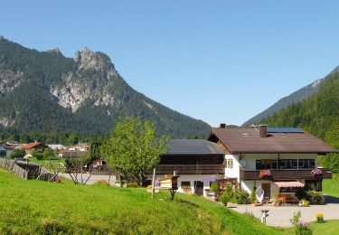
Wanderweg 78 (Rund um den Niernthalkopf)


A pied
Facile
Bischofswiesen,
Bavière,
Landkreis Berchtesgadener Land,
Allemagne

8,6 km | 15,4 km-effort
3h 29min
Non
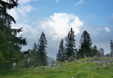
Wanderweg 81


A pied
Facile
Bischofswiesen,
Bavière,
Landkreis Berchtesgadener Land,
Allemagne

5,6 km | 12,6 km-effort
2h 52min
Non

Wanderweg 77 (Rund um den Burgstallkopf)


A pied
Facile
Bischofswiesen,
Bavière,
Landkreis Berchtesgadener Land,
Allemagne

3,4 km | 5,1 km-effort
1h 10min
Non
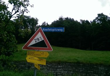
Wikiloc - Maria Gern variant rond Kneifelspitze (PVDB)


A pied
Difficile
Berchtesgaden,
Bavière,
Landkreis Berchtesgadener Land,
Allemagne

8,4 km | 16,4 km-effort
3h 43min
Oui

Wanderweg 76 (Rund um den Ochsenkopf)


A pied
Facile
Bischofswiesen,
Bavière,
Landkreis Berchtesgadener Land,
Allemagne

6,6 km | 10,2 km-effort
2h 19min
Oui


 SityTrail


