


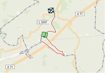

6 km | 8,1 km-effort

Tous les sentiers balisés d’Europe GUIDE+


Application GPS de randonnée GRATUITE
 SityTrail
IGN / Instituts géographiques
SityTrail World
Le monde est à vous
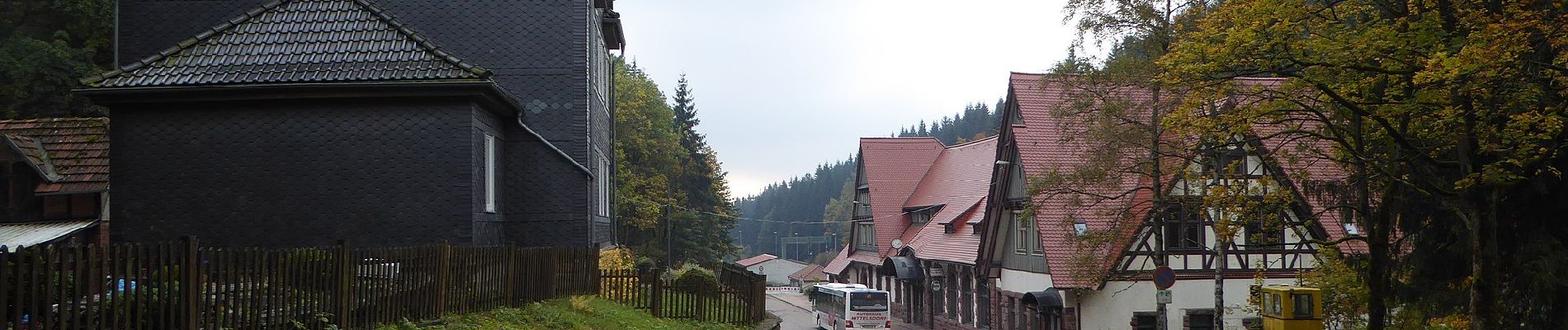
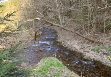
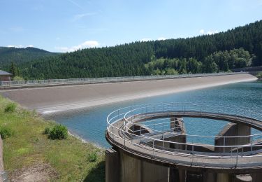
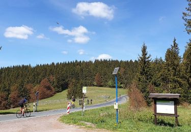
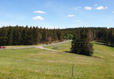
Randonnée A pied de 3,6 km à découvrir à Thuringe, Landkreis Schmalkalden-Meiningen, Oberhof. Cette randonnée est proposée par SityTrail - itinéraires balisés pédestres.
Bitte in Richtung Zella-Mehlis fortsetzen
Symbole: gelbes R


A pied

A pied
A pied
A pied
A pied
A pied
A pied

A pied