


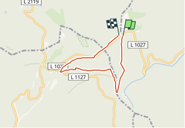

10,4 km | 15,1 km-effort


Tous les sentiers balisés d’Europe GUIDE+


Application GPS de randonnée GRATUITE
 SityTrail
IGN / Instituts géographiques
SityTrail World
Le monde est à vous
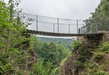
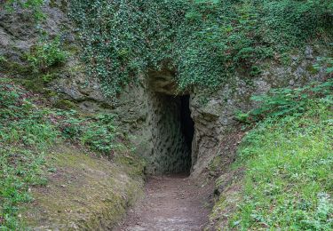
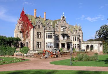
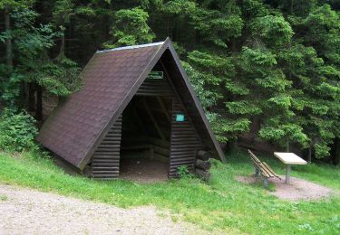
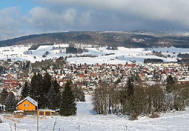
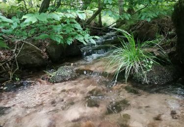
Randonnée A pied de 5 km à découvrir à Thuringe, Landkreis Gotha, Waltershausen. Cette randonnée est proposée par SityTrail - itinéraires balisés pédestres.
Symbole: Gelbes Dreieck
Site web: https://www.ruhla.de/
A pied
A pied
A pied
A pied
A pied

A pied
A pied
A pied