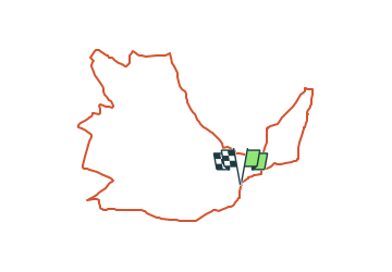
![](/images/other/stat-length.png)
![Randonnée A pied Michelstadt - Geo-Lehrpfad Michelstadt : Kulturhistorischer Wanderweg Steinbach - Photo](https://media.geolcdn.com/t/1900/400/08a807c3-4d7b-45bb-89da-638baa855bbb.jpeg&format=pjpeg&maxdim=2)
Geo-Lehrpfad Michelstadt : Kulturhistorischer Wanderweg Steinbach
SityTrail - itinéraires balisés pédestres
Tous les sentiers balisés d’Europe GUIDE+
![Longueur](/images/other/stat-length.png)
![Altitude max](https://static1.geolcdn.com/siteimages/upload/files/1508320355ic_sort_altitude_max_24dp.png)
![Dénivelé positif](https://static1.geolcdn.com/siteimages/upload/files/1508320355ic_sort_den_pos_24dp.png)
![Km-Effort](/images/other/stat-length.png)
![Altitude min](https://static1.geolcdn.com/siteimages/upload/files/1508320355ic_sort_altitude_min_24dp.png)
![Dénivelé négatif](https://static1.geolcdn.com/siteimages/upload/files/1508320355ic_sort_den_neg_24dp.png)
![Boucle](https://static1.geolcdn.com/siteimages/upload/files/16400158638029165_repeat_loop_refresh_sync_direction_icon.png)
![A pied](https://static1.geolcdn.com/sitytour/trail-icons/100.png)
3h05
Difficulté : Facile
![Scannez ce code QR pour ouvrir la randonnée dans l'application SityTrail](https://capi.geolives.com/qq0zvz2zws4bq2lad0pu/sitytour/trails/3095580/qr.png?size=200)
Application GPS de randonnée GRATUITE
À propos
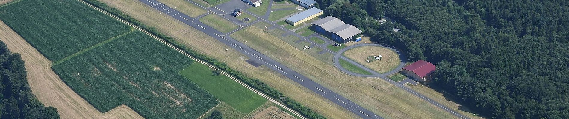
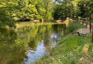
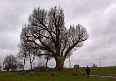
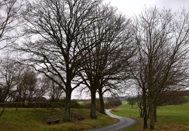
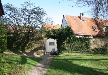
Randonnée A pied de 10,2 km à découvrir à Hesse, Odenwaldkreis, Michelstadt. Cette randonnée est proposée par SityTrail - itinéraires balisés pédestres.
Description
Randonnée créée par Geo-Naturpark Bergstraße-Odenwald.
Symbole: Gelbes L in gelbem Kreis
Site web: http://www.geo-naturpark.net/deutsch/pfade/alle-pfade/michelstadt-steinbach.php
Localisation
Commentaires
Randonnées à proximité
![Randonnée A pied Erbach - Rundwanderweg Erbach 2: - Photo](https://media.geolcdn.com/t/375/260/c62c77d9-62fd-4bd6-a775-e1eb2b8297a7.jpeg&format=jpg&maxdim=2)
![A pied A pied](https://static1.geolcdn.com/sitytour/trail-icons/100.png)
A pied
![](/images/other/stat-length.png)
![](https://static1.geolcdn.com/siteimages/upload/files/16400158638029165_repeat_loop_refresh_sync_direction_icon.png)
![Randonnée A pied Michelstadt - Rundwanderweg Weiten-Gesäß 4 : Hüttenweg - Photo](https://media.geolcdn.com/t/375/260/4f9bec72-1b57-431e-b541-8eb17aeeed4b.jpeg&format=jpg&maxdim=2)
![A pied A pied](https://static1.geolcdn.com/sitytour/trail-icons/100.png)
A pied
![](/images/other/stat-length.png)
![](https://static1.geolcdn.com/siteimages/upload/files/16400158638029165_repeat_loop_refresh_sync_direction_icon.png)
![Randonnée A pied Michelstadt - Rundwanderweg Michelstadt Waldhorn 3: Silberbrünnchenweg - Photo](https://media.geolcdn.com/t/375/260/73d2951f-5d44-4953-a463-930469c7b118.jpeg&format=jpg&maxdim=2)
![A pied A pied](https://static1.geolcdn.com/sitytour/trail-icons/100.png)
A pied
![](/images/other/stat-length.png)
![](https://static1.geolcdn.com/siteimages/upload/files/16400158638029165_repeat_loop_refresh_sync_direction_icon.png)
![Randonnée A pied Michelstadt - Rundwanderweg Michelstadt Einhard Quelle 2: Kühberg-Weg - Photo](https://media.geolcdn.com/t/375/260/6f017b49-450c-4de9-bda2-e7429ad654f7.jpeg&format=jpg&maxdim=2)
![A pied A pied](https://static1.geolcdn.com/sitytour/trail-icons/100.png)
A pied
![](/images/other/stat-length.png)
![](https://static1.geolcdn.com/siteimages/upload/files/16400158638029165_repeat_loop_refresh_sync_direction_icon.png)
![Randonnée A pied Erbach - Rundwanderweg Erbach 6 - Photo](https://media.geolcdn.com/t/375/260/fcfaa305-a156-4cb0-9f6f-d5e74e8bf0e1.jpeg&format=jpg&maxdim=2)
![A pied A pied](https://static1.geolcdn.com/sitytour/trail-icons/100.png)
A pied
![](/images/other/stat-length.png)
![](https://static1.geolcdn.com/siteimages/upload/files/16400158638029165_repeat_loop_refresh_sync_direction_icon.png)
![Randonnée A pied Brombachtal - Rundwanderweg Zell 4 : Brombach-Weg - Photo](https://media.geolcdn.com/t/375/260/1ada811f-58d1-42f9-9572-b3fbda86272d.jpeg&format=jpg&maxdim=2)
![A pied A pied](https://static1.geolcdn.com/sitytour/trail-icons/100.png)
A pied
![](/images/other/stat-length.png)
![](https://static1.geolcdn.com/siteimages/upload/files/16400158638029165_repeat_loop_refresh_sync_direction_icon.png)
![Randonnée A pied Michelstadt - Rundwanderweg Brombachtal 5 - Photo](https://media.geolcdn.com/t/375/260/b22a1b6b-db57-4bd5-b2b6-b9d0d9584599.jpeg&format=jpg&maxdim=2)
![A pied A pied](https://static1.geolcdn.com/sitytour/trail-icons/100.png)
A pied
![](/images/other/stat-length.png)
![](https://static1.geolcdn.com/siteimages/upload/files/16400158638029165_repeat_loop_refresh_sync_direction_icon.png)
![Randonnée A pied Brombachtal - Rundwanderweg Brombachtal 3 - Photo](https://media.geolcdn.com/t/375/260/1ada811f-58d1-42f9-9572-b3fbda86272d.jpeg&format=jpg&maxdim=2)
![A pied A pied](https://static1.geolcdn.com/sitytour/trail-icons/100.png)
A pied
![](/images/other/stat-length.png)
![](https://static1.geolcdn.com/siteimages/upload/files/16400158638029165_repeat_loop_refresh_sync_direction_icon.png)
![Randonnée A pied Brombachtal - Rundwanderweg Brombachtal 4 - Photo](https://media.geolcdn.com/t/375/260/dd5bd44e-21a1-49a2-9ad8-ff08700e5398.jpeg&format=jpg&maxdim=2)
![A pied A pied](https://static1.geolcdn.com/sitytour/trail-icons/100.png)
A pied
![](/images/other/stat-length.png)
![](https://static1.geolcdn.com/siteimages/upload/files/16400158638029165_repeat_loop_refresh_sync_direction_icon.png)