


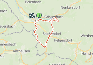

8,5 km | 12,7 km-effort

Tous les sentiers balisés d’Europe GUIDE+


Application GPS de randonnée GRATUITE
 SityTrail
IGN / Instituts géographiques
SityTrail World
Le monde est à vous
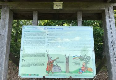
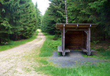
Randonnée A pied de 9,2 km à découvrir à Rhénanie-du-Nord-Westphalie, Kreis Siegen-Wittgenstein, Netphen. Cette randonnée est proposée par SityTrail - itinéraires balisés pédestres.
Randonnée créée par Sauerländischer Gebirgsverein.
Symbole: Weißes D in weißem Kreis auf schwarzem Grund
Site web: https://www.sgv-deuz.de/pages/wanderprogramm/erich-reinschmidt-weg.php
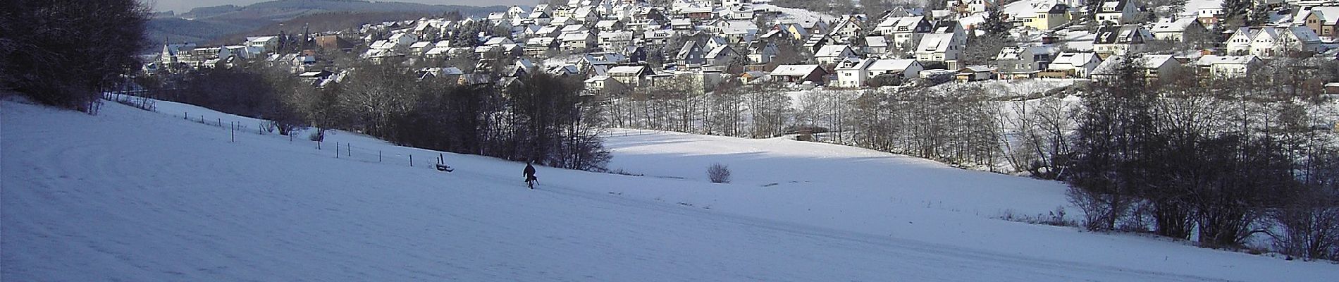
 Erich-Reinschmidt-Weg - Photo 1")
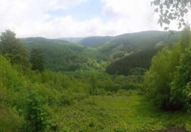
 Erich-Reinschmidt-Weg - Photo 2")
A pied
A pied
A pied
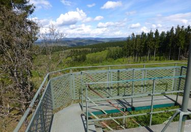
![Randonnée A pied Netphen - [Volldreieck] Deuz - Ruckersfeld - Photo](https://media.geolcdn.com/t/375/260/5dce9fcd-2f0b-404e-968a-784e30314d05.jpeg&format=jpg&maxdim=2)
A pied
A pied
A pied
A pied
A pied
![Randonnée A pied Netphen - [T] Deuz - Flammersbach - Rödgen - Photo](https://media.geolcdn.com/t/375/260/389e4f43-5878-4a39-9b36-4bfe793beb15.jpeg&format=jpg&maxdim=2)
A pied