


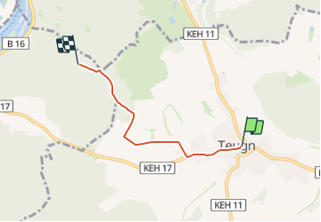

5,9 km | 8,1 km-effort

Tous les sentiers balisés d’Europe GUIDE+


Application GPS de randonnée GRATUITE
 SityTrail
IGN / Instituts géographiques
SityTrail World
Le monde est à vous
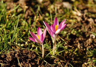
Randonnée A pied de 3,4 km à découvrir à Bavière, Landkreis Kelheim, Teugn. Cette randonnée est proposée par SityTrail - itinéraires balisés pédestres.
Randonnée créée par Waldverein Regensburg.
FIXME: Weg geht vielleicht an der Kreuzung Suedlich vom Haselspitz nach Osten und nicht nach Sueden
Symbole: Blaues Rechteck auf weißem Grund
 - Photo 1")
A pied
A pied
A pied

A pied