Randonnée A pied Eichstätt - Rundwanderweg Eichstätt Nr. 5 - Photo

Rundwanderweg Eichstätt Nr. 5

Tous les sentiers balisés d’Europe PRO

© OpenStreetMap contributors
Longueur
Longueur
15,9 km
Altitude max
Altitude max
548 m
Dénivelé positif
Dénivelé positif
347 m
Km-Effort
Km-Effort  
21 km
Altitude min
Altitude min
405 m
Dénivelé négatif
Dénivelé négatif
347 m
Boucle
Boucle
Oui
Balise
Balise
Date de création :
2022-02-11 15:55:24.236
Dernière modification :
2022-02-11 15:55:24.236

(0 Avis)

A pied
A pied
4h40
Difficulté : Moyen

Scannez ce code QR pour ouvrir la randonnée dans l'application SityTrail

Application GPS de randonnée GRATUITE

Logo SityTrail SityTrail

IGN / Instituts géographiques

Télécharger SityTrail sur l'App Store Télécharger SityTrail sur Google Play

Logo SityTrail SityTrail World

Le monde est à vous

Télécharger SityTrail sur l'App Store Télécharger SityTrail sur Google Play Télécharger SityTrail sur Huawei AppGallery

À propos

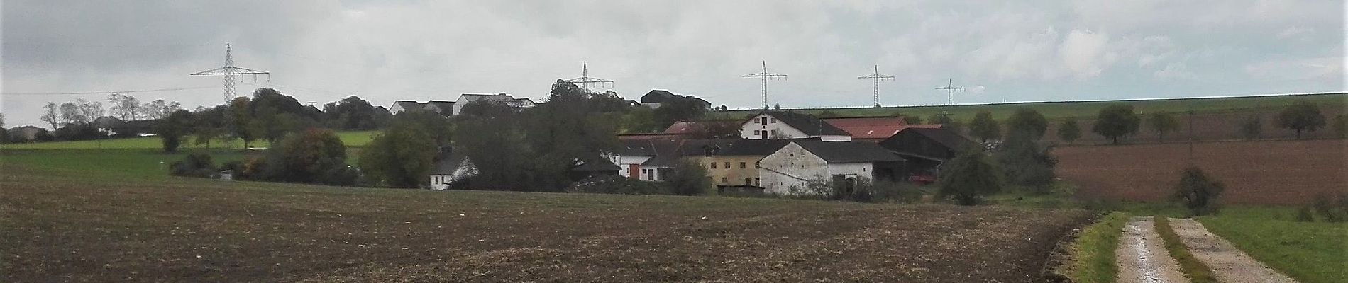
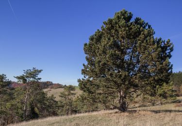
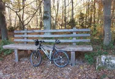
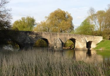
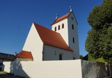
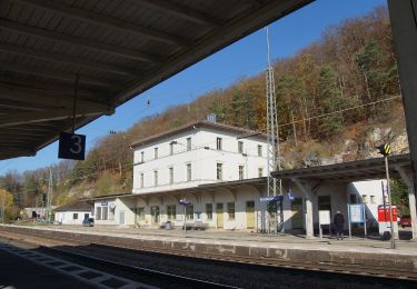
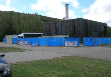
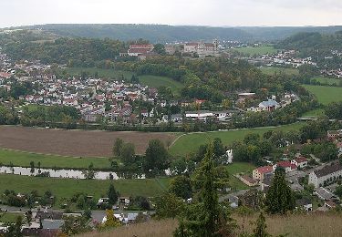
Randonnée A pied de 15,9 km à découvrir à Bavière, Landkreis Eichstätt, Eichstätt. Cette randonnée est proposée par SityTrail - itinéraires balisés pédestres.

Description

Randonnée créée par Tourist-Information Stadt Eichstätt.

abgeschlossen (Mai 2014, by cycling_zno)

Symbole: grüne Ziffer 5 auf gelben Hintergrund mit Ammonit-Wasserzeichen


Site web: http://www.eichstaett.info/wege/wanderung_zum_saupark-122/

Photos

Localisation

Pays :
Allemagne
Région :
Bavière
Département/Province :
Landkreis Eichstätt
Commune :
Eichstätt
Localité :
Unknown
Départ:(UTM)
660290 ; 5417993 (32U) N.

Randonnées à proximité

Randonnée A pied Dollnstein - Naturlehrpfad Obereichstätt - Photo
A pied
PRO

A pied

Facile
Dollnstein, Bavière, Landkreis Eichstätt, Allemagne
8,2 km | 11,1 km-effort
2h 31min
Oui
Randonnée A pied Eichstätt - Rundwanderweg Eichstätt Nr. 2 - Photo
A pied
PRO

A pied

Facile
Eichstätt, Bavière, Landkreis Eichstätt, Allemagne
8,1 km | 9,9 km-effort
2h 15min
Non
Randonnée A pied Eichstätt - Rundweg Walting 7 - Photo
A pied
PRO

A pied

Facile
Eichstätt, Bavière, Landkreis Eichstätt, Allemagne
7,8 km | 10,1 km-effort
2h 17min
Oui
Randonnée A pied Eichstätt - Feuchtgebiets-Lehrpfad Pfünz - Photo
A pied
PRO

A pied

Facile
Eichstätt, Bavière, Landkreis Eichstätt, Allemagne
3,1 km | 3,6 km-effort
48min
Non
Randonnée A pied Eichstätt - Rundwanderweg Eichstätt Nr. 1 - Photo
A pied
PRO

A pied

Moyen
Eichstätt, Bavière, Landkreis Eichstätt, Allemagne
15,7 km | 22 km-effort
4h 56min
Oui
Randonnée A pied Eichstätt - Nordic Walking Park Eichstätt Route 3 Auwäldchen - Photo
A pied
PRO

A pied

Facile
Eichstätt, Bavière, Landkreis Eichstätt, Allemagne
5 km | 6,8 km-effort
1h 32min
Non
Randonnée A pied Eichstätt - KultURwald - Photo
A pied
PRO

A pied

Facile
Eichstätt, Bavière, Landkreis Eichstätt, Allemagne
3,6 km | 5 km-effort
1h 7min
Oui
Randonnée A pied Eichstätt - Rundwanderweg Eichstätt Nr. 7 - Photo
A pied
PRO

A pied

Facile
Eichstätt, Bavière, Landkreis Eichstätt, Allemagne
10,7 km | 14,9 km-effort
3h 23min
Oui


Fermer
Mes abonnements