


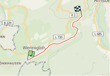

7,7 km | 10,4 km-effort
![Randonnée A pied Arnsberg - [hohles Quadrat] - Photo](https://media.geolcdn.com/t/1900/400/f0e23591-4c0b-4747-b5d7-d3dc9ee41a7a.jpeg&format=pjpeg&maxdim=2)

Tous les sentiers balisés d’Europe GUIDE+


Application GPS de randonnée GRATUITE
 SityTrail
IGN / Instituts géographiques
SityTrail World
Le monde est à vous
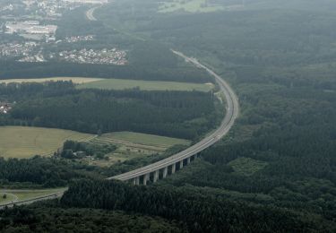
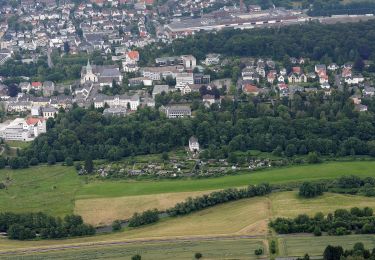
Randonnée A pied de 3,3 km à découvrir à Rhénanie-du-Nord-Westphalie, Hochsauerlandkreis, Arnsberg. Cette randonnée est proposée par SityTrail - itinéraires balisés pédestres.
Randonnée créée par Sauerländischer Gebirgsverein.
Symbole: weißes hohles Quadrat auf weißem Grund
![Randonnée A pied Arnsberg - [hohles Quadrat] - Photo 1](https://media.geolcdn.com/t/2048/auto/f0e23591-4c0b-4747-b5d7-d3dc9ee41a7a.jpeg&format=jpg&maxdim=0 "Randonnée A pied Arnsberg - [hohles Quadrat] - Photo 1")
A pied
A pied
A pied
A pied
A pied
A pied
A pied
A pied
A pied