Randonnée A pied Bad Endorf - Obst- und Kulturweg (OKW) - Photo

Tous les sentiers balisés d’Europe PRO

© OpenStreetMap contributors
Longueur
Longueur
6,4 km
Altitude max
Altitude max
632 m
Dénivelé positif
Dénivelé positif
184 m
Km-Effort
Km-Effort  
8,8 km
Altitude min
Altitude min
524 m
Dénivelé négatif
Dénivelé négatif
144 m
Boucle
Boucle
Non
Balise
Balise
Date de création :
2022-02-11 15:31:25.553
Dernière modification :
2022-02-11 15:31:25.553

(0 Avis)

A pied
A pied
1h59
Difficulté : Facile

Scannez ce code QR pour ouvrir la randonnée dans l'application SityTrail

Application GPS de randonnée GRATUITE

Logo SityTrail SityTrail

IGN / Instituts géographiques

Télécharger SityTrail sur l'App Store Télécharger SityTrail sur Google Play

Logo SityTrail SityTrail World

Le monde est à vous

Télécharger SityTrail sur l'App Store Télécharger SityTrail sur Google Play Télécharger SityTrail sur Huawei AppGallery

À propos

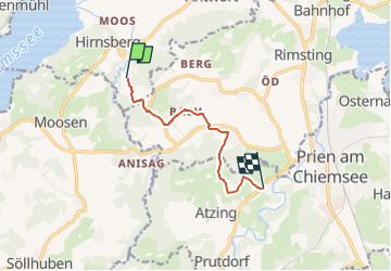
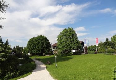
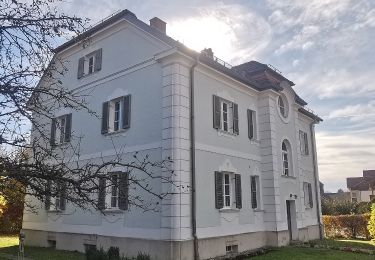
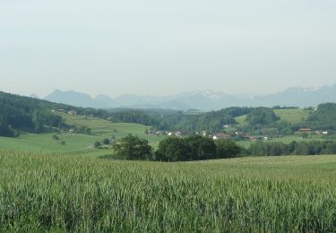
Randonnée A pied de 6,4 km à découvrir à Bavière, Landkreis Rosenheim, Bad Endorf. Cette randonnée est proposée par SityTrail - itinéraires balisés pédestres.

Description

Die Wanderung von Prien oder Rimsting aus führt Sie durch die sehr abwechslungsreiche Hügellandschaft mit alten Obstsorten und sehenswerten Kultu...

Site web: https://www.chiemsee-alpenland.de/Media/Tourenfinder-fuer-Aktive/Obst-und-Kulturweg-Ratzinger-Hoehe
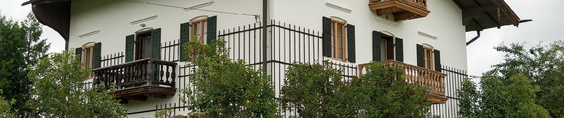
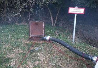
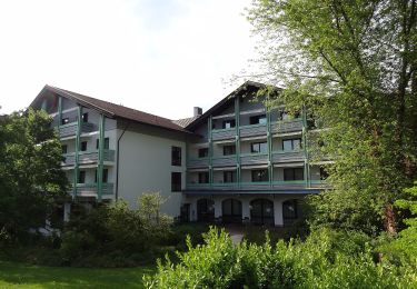
Photos

Localisation

Pays :
Allemagne
Région :
Bavière
Département/Province :
Landkreis Rosenheim
Commune :
Bad Endorf
Localité :
Unknown
Départ:(UTM)
296694 ; 5305781 (33T) N.

Randonnées à proximité

Randonnée A pied Prien am Chiemsee - Priener Postkartenweg - Photo
A pied
PRO

A pied

Facile
Prien am Chiemsee, Bavière, Landkreis Rosenheim, Allemagne
4,8 km | 6 km-effort
1h 22min
Non
Randonnée A pied Prien am Chiemsee - Rundweg 2 - Photo
A pied
PRO

A pied

Facile
Prien am Chiemsee, Bavière, Landkreis Rosenheim, Allemagne
7,3 km | 9,3 km-effort
2h 6min
Oui
Randonnée A pied Prien am Chiemsee - Rundweg 1 - Photo
A pied
PRO

A pied

Facile
Prien am Chiemsee, Bavière, Landkreis Rosenheim, Allemagne
3,9 km | 5,4 km-effort
1h 13min
Oui
Randonnée A pied Bad Endorf - Wanderweg 5 - Bad Endorf - Photo
A pied
PRO

A pied

Facile
Bad Endorf, Bavière, Landkreis Rosenheim, Allemagne
3,8 km | 4,7 km-effort
1h 4min
Non
Randonnée A pied Bad Endorf - Panoramaweg - Bad Endorf - Photo
A pied
PRO

A pied

Facile
Bad Endorf, Bavière, Landkreis Rosenheim, Allemagne
7 km | 8,7 km-effort
1h 58min
Oui
Randonnée A pied Bad Endorf - Wanderweg 9 - Bad Endorf - Photo
A pied
PRO

A pied

Facile
Bad Endorf, Bavière, Landkreis Rosenheim, Allemagne
7,9 km | 9,4 km-effort
2h 8min
Oui
Randonnée A pied Bad Endorf - Wanderweg 8 - Bad Endorf - Photo
A pied
PRO

A pied

Facile
Bad Endorf, Bavière, Landkreis Rosenheim, Allemagne
7,2 km | 8,7 km-effort
1h 59min
Oui
Randonnée A pied Bad Endorf - Wanderweg 7 - Bad Endorf - Stockhamer Rundweg - Photo
A pied
PRO

A pied

Facile
Bad Endorf, Bavière, Landkreis Rosenheim, Allemagne
6 km | 7,2 km-effort
1h 38min
Oui
Randonnée A pied Bad Endorf - Wanderweg 4 - Bad Endorf - Photo
A pied
PRO

A pied

Facile
Bad Endorf, Bavière, Landkreis Rosenheim, Allemagne
6,1 km | 7,7 km-effort
1h 44min
Oui


Fermer
Mes abonnements