


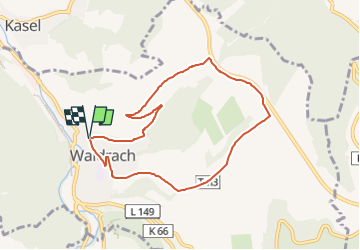

11,7 km | 16,4 km-effort

Tous les sentiers balisés d’Europe GUIDE+


Application GPS de randonnée GRATUITE
 SityTrail
IGN / Instituts géographiques
SityTrail World
Le monde est à vous
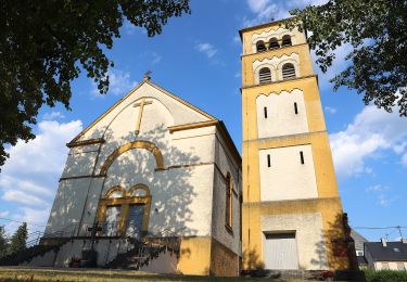
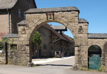
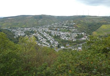
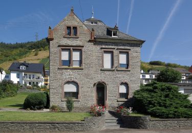
Randonnée A pied de 7,2 km à découvrir à Rhénanie-Palatinat, Landkreis Trier-Saarburg, Waldrach. Cette randonnée est proposée par SityTrail - itinéraires balisés pédestres.
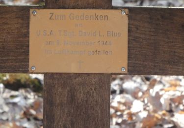
noch nicht vollständig erkundet. KK-O 16.10.2013


A pied
A pied
A pied
A pied
A pied
A pied
A pied
A pied
A pied