![](/images/other/stat-length.png)
![Randonnée A pied Seegebiet Mansfelder Land - Seeburg-Esperstedt-Holzzelle-Sittichenbach-Blankenhain - Photo](https://media.geolcdn.com/t/1900/400/57238a07-a3b3-42cc-9757-cd7505592658.jpeg&format=pjpeg&maxdim=2)
Seeburg-Esperstedt-Holzzelle-Sittichenbach-Blankenhain
SityTrail - itinéraires balisés pédestres
Tous les sentiers balisés d’Europe GUIDE+
![Longueur](/images/other/stat-length.png)
Longueur
6,9 km
![Altitude max](https://static1.geolcdn.com/siteimages/upload/files/1508320355ic_sort_altitude_max_24dp.png)
Altitude max
243 m
![Dénivelé positif](https://static1.geolcdn.com/siteimages/upload/files/1508320355ic_sort_den_pos_24dp.png)
Dénivelé positif
23 m
![Km-Effort](/images/other/stat-length.png)
Km-Effort
7,7 km
![Altitude min](https://static1.geolcdn.com/siteimages/upload/files/1508320355ic_sort_altitude_min_24dp.png)
Altitude min
92 m
![Dénivelé négatif](https://static1.geolcdn.com/siteimages/upload/files/1508320355ic_sort_den_neg_24dp.png)
Dénivelé négatif
167 m
![Boucle](https://static1.geolcdn.com/siteimages/upload/files/16400158638029165_repeat_loop_refresh_sync_direction_icon.png)
Boucle
Non
Balise
Date de création :
2022-02-11 15:26:32.483
Dernière modification :
2022-02-11 15:26:32.483
![A pied](https://static1.geolcdn.com/sitytour/trail-icons/100.png)
1h45
Difficulté : Facile
![Scannez ce code QR pour ouvrir la randonnée dans l'application SityTrail](https://capi.geolives.com/qq0zvz2zws4bq2lad0pu/sitytour/trails/3094491/qr.png?size=200)
Application GPS de randonnée GRATUITE
À propos
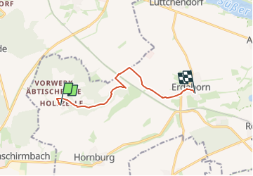
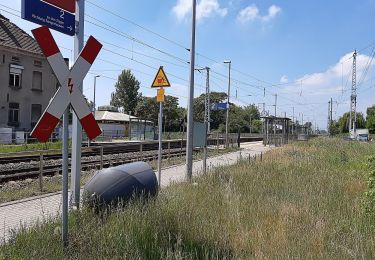
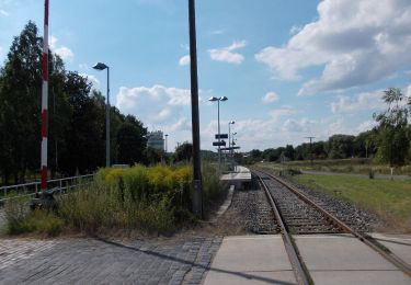
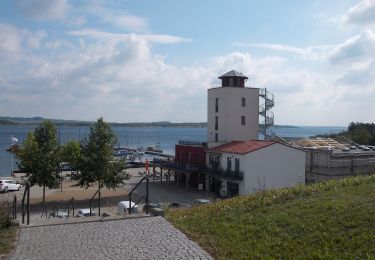
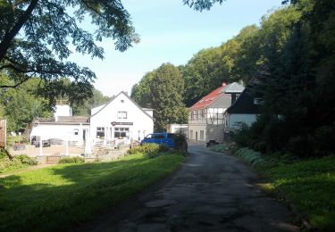
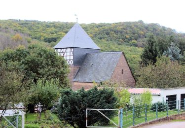
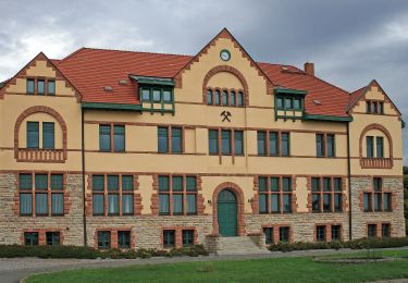
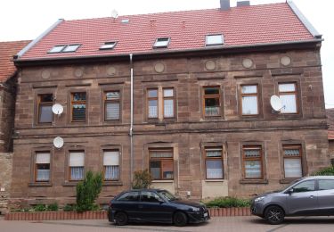
Randonnée A pied de 6,9 km à découvrir à Saxe-Anhalt, Mansfeld-Südharz, Seegebiet Mansfelder Land. Cette randonnée est proposée par SityTrail - itinéraires balisés pédestres.
Description
Esperstedt-Holzzelle-Sittichenbach-Bornstedt-Blankenstein
Symbole: Grüner Balken auf weißem Grund
Localisation
Pays :
Allemagne
Région :
Saxe-Anhalt
Département/Province :
Mansfeld-Südharz
Commune :
Seegebiet Mansfelder Land
Localité :
Unknown
Départ:(Dec)
Départ:(UTM)
678626 ; 5705220 (32U) N.
Commentaires
Randonnées à proximité
![Randonnée A pied Querfurt - Rundweg Märzenbechertal - Photo](https://media.geolcdn.com/t/375/260/568dc860-5903-4b91-ad3c-41e458a56123.jpeg&format=jpg&maxdim=2)
![A pied A pied](https://static1.geolcdn.com/sitytour/trail-icons/100.png)
Rundweg Märzenbechertal
A pied
Facile
Querfurt,
Saxe-Anhalt,
Saalekreis,
Allemagne
![](/images/other/stat-length.png)
3,4 km | 4,7 km-effort
1h 4min
![](https://static1.geolcdn.com/siteimages/upload/files/16400158638029165_repeat_loop_refresh_sync_direction_icon.png)
Non
![Randonnée A pied Artern - Novalis Wanderweg - Photo](https://media.geolcdn.com/t/375/260/48c0775b-00e2-4fc0-a269-3f2d3fcbc584.jpeg&format=jpg&maxdim=2)
![A pied A pied](https://static1.geolcdn.com/sitytour/trail-icons/100.png)
Novalis Wanderweg
A pied
Moyen
Artern,
Thuringe,
Kyffhäuserkreis,
Allemagne
![](/images/other/stat-length.png)
19,7 km | 24 km-effort
5h 29min
![](https://static1.geolcdn.com/siteimages/upload/files/16400158638029165_repeat_loop_refresh_sync_direction_icon.png)
Non
![Randonnée A pied Salzatal - Braunkohlenpfad - Photo](https://media.geolcdn.com/t/375/260/b2594623-1999-4f66-84c0-c57ef1625db9.jpeg&format=jpg&maxdim=2)
![A pied A pied](https://static1.geolcdn.com/sitytour/trail-icons/100.png)
Braunkohlenpfad
A pied
Facile
Salzatal,
Saxe-Anhalt,
Saalekreis,
Allemagne
![](/images/other/stat-length.png)
11,6 km | 13,3 km-effort
3h 1min
![](https://static1.geolcdn.com/siteimages/upload/files/16400158638029165_repeat_loop_refresh_sync_direction_icon.png)
Non
![Randonnée A pied Nebra (Unstrut) - Weinweg Reinsdorf-Steigra-Karsdorf - Photo](https://media.geolcdn.com/t/375/260/030336d4-5fcd-4592-9124-62525e35df0d.jpeg&format=jpg&maxdim=2)
![A pied A pied](https://static1.geolcdn.com/sitytour/trail-icons/100.png)
Weinweg Reinsdorf-Steigra-Karsdorf
A pied
Facile
Nebra (Unstrut),
Saxe-Anhalt,
Burgenlandkreis,
Allemagne
![](/images/other/stat-length.png)
5,2 km | 6,3 km-effort
1h 25min
![](https://static1.geolcdn.com/siteimages/upload/files/16400158638029165_repeat_loop_refresh_sync_direction_icon.png)
Non
![Randonnée A pied Mücheln (Geiseltal) - Panoramaweg Mücheln - Photo](https://media.geolcdn.com/t/375/260/31871a98-6ca9-4ca6-b5fe-fdecae3ab74b.jpeg&format=jpg&maxdim=2)
![A pied A pied](https://static1.geolcdn.com/sitytour/trail-icons/100.png)
Panoramaweg Mücheln
A pied
Facile
Mücheln (Geiseltal),
Saxe-Anhalt,
Saalekreis,
Allemagne
![](/images/other/stat-length.png)
5,9 km | 7 km-effort
1h 35min
![](https://static1.geolcdn.com/siteimages/upload/files/16400158638029165_repeat_loop_refresh_sync_direction_icon.png)
Oui
![Randonnée A pied Sangerhausen - Wildrosenpfad - Photo](https://media.geolcdn.com/t/375/260/264960dd-7fad-46af-93f2-7d79ccbb6ade.jpeg&format=jpg&maxdim=2)
![A pied A pied](https://static1.geolcdn.com/sitytour/trail-icons/100.png)
Wildrosenpfad
A pied
Facile
Sangerhausen,
Saxe-Anhalt,
Mansfeld-Südharz,
Allemagne
![](/images/other/stat-length.png)
6 km | 8,4 km-effort
1h 55min
![](https://static1.geolcdn.com/siteimages/upload/files/16400158638029165_repeat_loop_refresh_sync_direction_icon.png)
Oui
![Randonnée A pied Sangerhausen - DE-Gelber Balken - Photo](https://media.geolcdn.com/t/375/260/ba0a2a96-858f-4b2e-ba34-0962465025be.jpeg&format=jpg&maxdim=2)
![A pied A pied](https://static1.geolcdn.com/sitytour/trail-icons/100.png)
DE-Gelber Balken
A pied
Facile
Sangerhausen,
Saxe-Anhalt,
Mansfeld-Südharz,
Allemagne
![](/images/other/stat-length.png)
5 km | 6,5 km-effort
1h 28min
![](https://static1.geolcdn.com/siteimages/upload/files/16400158638029165_repeat_loop_refresh_sync_direction_icon.png)
Non
![Randonnée A pied Querfurt - Natur-, Kali- und Geschichtslehrpfad - Photo](https://media.geolcdn.com/t/375/260/852cbe64-e515-46bc-b0e1-f83ca9c68bd2.jpeg&format=jpg&maxdim=2)
![A pied A pied](https://static1.geolcdn.com/sitytour/trail-icons/100.png)
Natur-, Kali- und Geschichtslehrpfad
A pied
Facile
Querfurt,
Saxe-Anhalt,
Saalekreis,
Allemagne
![](/images/other/stat-length.png)
4,9 km | 6,3 km-effort
1h 26min
![](https://static1.geolcdn.com/siteimages/upload/files/16400158638029165_repeat_loop_refresh_sync_direction_icon.png)
Non
![Randonnée A pied Roßleben-Wiehe - Sänger Rundweg - Photo](https://media.geolcdn.com/t/375/260/13b73d34-0c1b-4ad5-b94c-fab68c75e89a.jpeg&format=jpg&maxdim=2)
![A pied A pied](https://static1.geolcdn.com/sitytour/trail-icons/100.png)
Sänger Rundweg
A pied
Facile
Roßleben-Wiehe,
Thuringe,
Kyffhäuserkreis,
Allemagne
![](/images/other/stat-length.png)
6 km | 6,9 km-effort
1h 33min
![](https://static1.geolcdn.com/siteimages/upload/files/16400158638029165_repeat_loop_refresh_sync_direction_icon.png)
Oui