


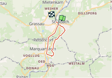

3,2 km | 4,9 km-effort

Tous les sentiers balisés d’Europe GUIDE+


Application GPS de randonnée GRATUITE
 SityTrail
IGN / Instituts géographiques
SityTrail World
Le monde est à vous
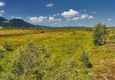
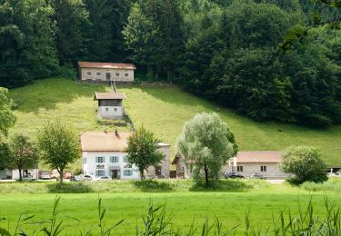
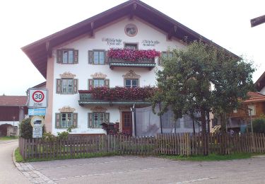
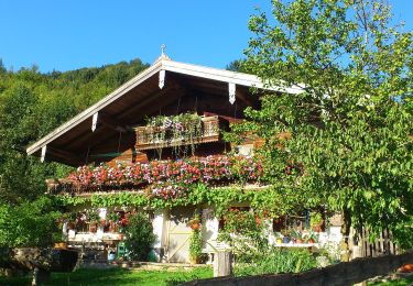
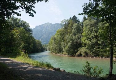
Randonnée A pied de 7,4 km à découvrir à Bavière, Landkreis Traunstein, Grassau. Cette randonnée est proposée par SityTrail - itinéraires balisés pédestres.
Randonnée créée par DSV nordic aktiv AUSBILDUNGSZENTRUM Grassau Bayern am Chiemsee.
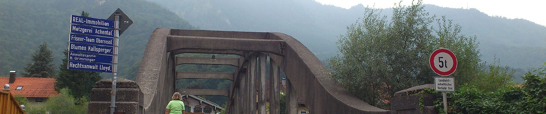
Symbole: Schwarzes Schild mit weißem Pfeil


A pied
A pied
A pied

A pied
A pied
A pied
A pied
A pied
A pied