


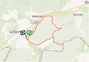

7,5 km | 10,7 km-effort

Tous les sentiers balisés d’Europe GUIDE+


Application GPS de randonnée GRATUITE
 SityTrail
IGN / Instituts géographiques
SityTrail World
Le monde est à vous
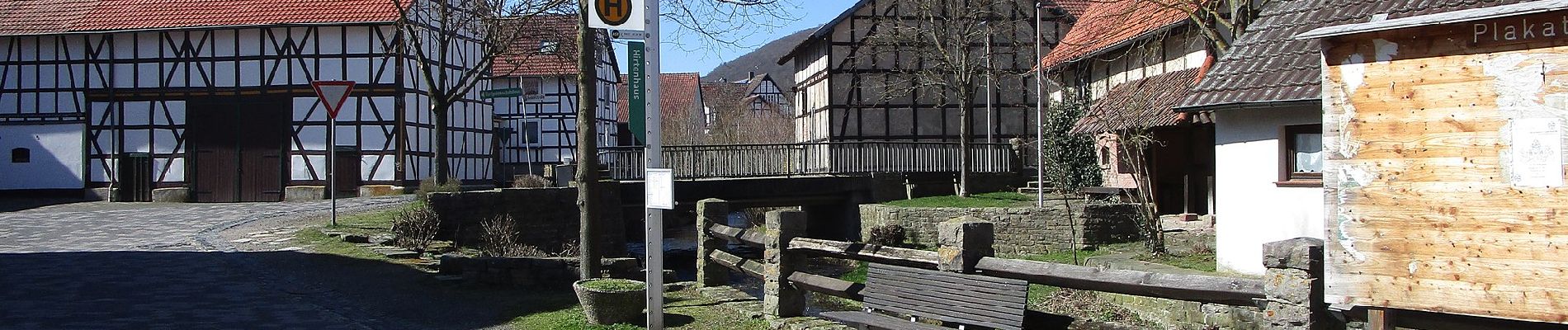
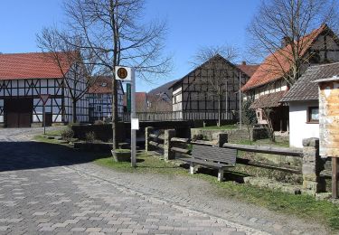
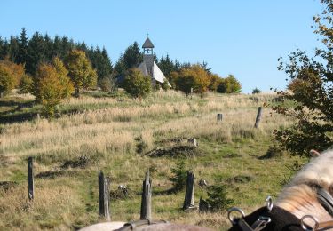
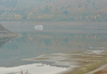
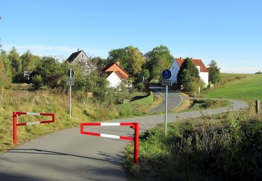
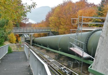
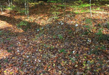
Randonnée A pied de 6,6 km à découvrir à Hesse, Landkreis Waldeck-Frankenberg, Edertal. Cette randonnée est proposée par SityTrail - itinéraires balisés pédestres.
Wegausschilderung mangelhaft. Inklusive Abstecher zum Naturschutzgebiet 'Paradies'


A pied
A pied
A pied
A pied

A pied
A pied
A pied
A pied
A pied