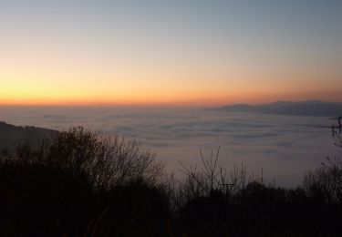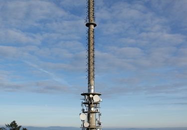

Goldsteig-Zubringerweg (Schöfweg)
SityTrail - itinéraires balisés pédestres
Tous les sentiers balisés d’Europe GUIDE+

Longueur
3,8 km

Altitude max
1024 m

Dénivelé positif
260 m

Km-Effort
6,5 km

Altitude min
761 m

Dénivelé négatif
4 m
Boucle
Non
Balise
Date de création :
2022-02-11 15:13:49.249
Dernière modification :
2022-02-11 15:13:49.249
1h28
Difficulté : Facile

Application GPS de randonnée GRATUITE
À propos
Randonnée A pied de 3,8 km à découvrir à Bavière, Landkreis Freyung-Grafenau, Schöfweg. Cette randonnée est proposée par SityTrail - itinéraires balisés pédestres.
Description
Symbole: blaues stilisiertes S in weißem Quadrat
Localisation
Pays :
Allemagne
Région :
Bavière
Département/Province :
Landkreis Freyung-Grafenau
Commune :
Schöfweg
Localité :
Unknown
Départ:(Dec)
Départ:(UTM)
369998 ; 5411021 (33U) N.
Commentaires
Randonnées à proximité

Brotjacklriegel-Rundweg


A pied
Facile
Schöfweg,
Bavière,
Landkreis Freyung-Grafenau,
Allemagne

6,3 km | 8,3 km-effort
1h 52min
Non

Turmweg (Mitterdorf / Schöfweg )


A pied
Facile
Schöfweg,
Bavière,
Landkreis Freyung-Grafenau,
Allemagne

3,4 km | 4,2 km-effort
57min
Non

Ohesprungrunde


A pied
Facile
Schöllnach,
Bavière,
Landkreis Deggendorf,
Allemagne

5 km | 6,3 km-effort
1h 26min
Non

Sonnenwaldrunde


A pied
Facile
Schöfweg,
Bavière,
Landkreis Freyung-Grafenau,
Allemagne

5,7 km | 8 km-effort
1h 48min
Oui

Turmrunde


A pied
Facile
Schöfweg,
Bavière,
Landkreis Freyung-Grafenau,
Allemagne

4 km | 6,6 km-effort
1h 30min
Oui

Sonnenwaldrunde


A pied
Facile
Innernzell,
Bavière,
Landkreis Freyung-Grafenau,
Allemagne

3,1 km | 4,4 km-effort
1h 0min
Non

Riegelrunde


A pied
Facile
Schöfweg,
Bavière,
Landkreis Freyung-Grafenau,
Allemagne

7,8 km | 10,8 km-effort
2h 27min
Oui

Schiffswegrunde


A pied
Facile
Schöfweg,
Bavière,
Landkreis Freyung-Grafenau,
Allemagne

3,6 km | 4,7 km-effort
1h 3min
Oui

Steinbergrunde


A pied
Facile
Grattersdorf,
Bavière,
Landkreis Deggendorf,
Allemagne

7 km | 10,1 km-effort
2h 17min
Non


 SityTrail


