


10,4 km | 14,3 km-effort
![Randonnée A pied Inconnu - [A5] Hinnenwiese - Photo](https://media.geolcdn.com/t/1900/400/ext.pjpeg?maxdim=2&url=https%3A%2F%2Fstatic1.geolcdn.com%2Fsiteimages%2Fupload%2Ffiles%2F1545311037marcheuse_200dpi.jpg)

Tous les sentiers balisés d’Europe GUIDE+


Application GPS de randonnée GRATUITE
 SityTrail
IGN / Instituts géographiques
SityTrail World
Le monde est à vous
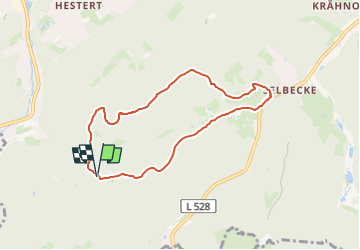
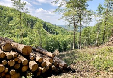
Randonnée A pied de 6,2 km à découvrir à Rhénanie-du-Nord-Westphalie, Hagen, Inconnu. Cette randonnée est proposée par SityTrail - itinéraires balisés pédestres.
Randonnée créée par Sauerländischer Gebirgsverein Hagen.
A pied

A pied
A pied
A pied
A pied
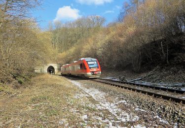
![Randonnée A pied Inconnu - [-] Höhenweg Wehringhausen - Herdecke - Photo](https://media.geolcdn.com/t/375/260/4387e361-0797-400d-87e7-45695bb9bdc7.jpeg&format=jpg&maxdim=2)
A pied
A pied
A pied
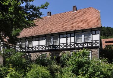
![Randonnée A pied Inconnu - [A9] Mäckinger Bach - Photo](https://media.geolcdn.com/t/375/260/d61b9506-745a-4b16-a3ef-d9924317a03e.jpeg&format=jpg&maxdim=2)
A pied