


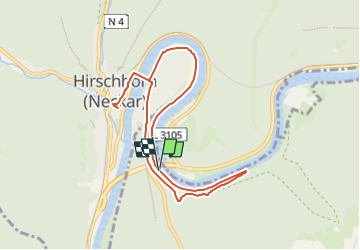

7,5 km | 9,1 km-effort

Tous les sentiers balisés d’Europe GUIDE+


Application GPS de randonnée GRATUITE
 SityTrail
IGN / Instituts géographiques
SityTrail World
Le monde est à vous
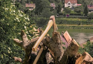
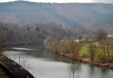
Randonnée A pied de 7,9 km à découvrir à Bade-Wurtemberg, Rhein-Neckar-Kreis, Schönbrunn. Cette randonnée est proposée par SityTrail - itinéraires balisés pédestres.
Symbole: weiße H2 im oben offenen Kreis, darin ein 'H'


A pied
A pied
A pied
A pied
A pied
A pied
A pied
A pied
A pied