Randonnée A pied Inconnu - Müggel-Spree-Weg - Photo

Müggel-Spree-Weg

Tous les sentiers balisés d’Europe PRO

© OpenStreetMap contributors
Longueur
Longueur
57 km
Altitude max
Altitude max
154 m
Dénivelé positif
Dénivelé positif
509 m
Km-Effort
Km-Effort  
63 km
Altitude min
Altitude min
29 m
Dénivelé négatif
Dénivelé négatif
478 m
Boucle
Boucle
Non
Balise
Balise
Date de création :
2022-02-11 15:11:03.881
Dernière modification :
2022-02-11 15:11:03.881

(0 Avis)

A pied
A pied
14h25
Difficulté : Très difficile

Scannez ce code QR pour ouvrir la randonnée dans l'application SityTrail

Application GPS de randonnée GRATUITE

Logo SityTrail SityTrail

IGN / Instituts géographiques

Télécharger SityTrail sur l'App Store Télécharger SityTrail sur Google Play

Logo SityTrail SityTrail World

Le monde est à vous

Télécharger SityTrail sur l'App Store Télécharger SityTrail sur Google Play Télécharger SityTrail sur Huawei AppGallery

À propos

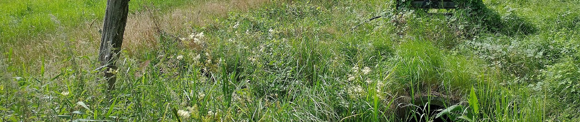
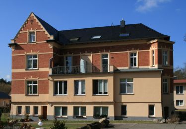
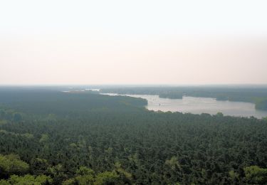
Randonnée A pied de 57 km à découvrir à Berlin, Inconnu, Inconnu. Cette randonnée est proposée par SityTrail - itinéraires balisés pédestres.

Description

Randonnée créée par Regionalparks Brandenburg.

Gesamtlänge soll 140 km betragen

Symbole: Roter Balken auf weißen Grund

Photos

Localisation

Pays :
Allemagne
Région :
Berlin
Département/Province :
Inconnu
Commune :
Inconnu
Localité :
Treptow-Köpenick
Départ:(UTM)
404450 ; 5811923 (33U) N.

Randonnées à proximité

Randonnée A pied Hoppegarten - Naturlehrpfad - Photo
A pied
PRO

A pied

Facile
Hoppegarten, Brandebourg, Märkisch-Oderland, Allemagne
3,7 km | 4 km-effort
54min
Oui
Randonnée A pied Inconnu - Wanderlehrpfad Teufelssee - Photo
A pied
PRO

A pied

Facile
Inconnu, Berlin, Inconnu, Allemagne
3,5 km | 4,3 km-effort
58min
Non
Randonnée A pied Inconnu - Bölsche Wanderweg - Photo
A pied
PRO

A pied

Facile
Inconnu, Berlin, Inconnu, Allemagne
12,9 km | 14,1 km-effort
3h 12min
Oui


Fermer
Mes abonnements