


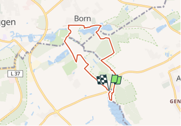

8,8 km | 9,6 km-effort

Tous les sentiers balisés d’Europe GUIDE+


Application GPS de randonnée GRATUITE
 SityTrail
IGN / Instituts géographiques
SityTrail World
Le monde est à vous
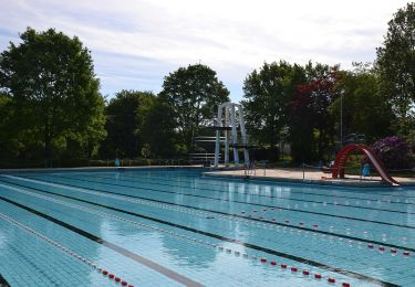
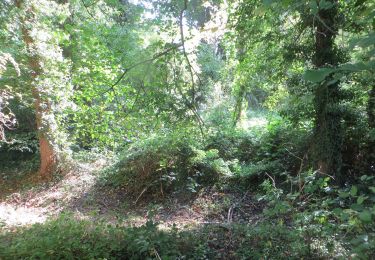
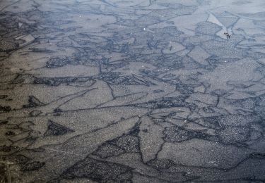
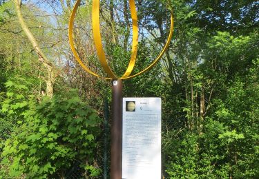
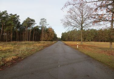
Randonnée A pied de 6,1 km à découvrir à Rhénanie-du-Nord-Westphalie, Kreis Viersen, Niederkrüchten. Cette randonnée est proposée par SityTrail - itinéraires balisés pédestres.
Site web: http://www.wa-wa-we.eu/de/touren/zwei-seen-runde/index.html


A pied
A pied

A pied
A pied
A pied
A pied

A pied
A pied
A pied