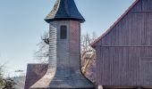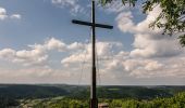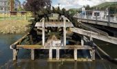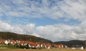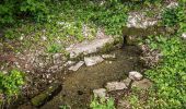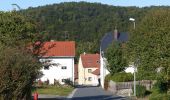

Ebermannnstadt-Burggailenreuth
SityTrail - itinéraires balisés pédestres
Tous les sentiers balisés d’Europe GUIDE+

Longueur
9,3 km

Altitude max
529 m

Dénivelé positif
210 m

Km-Effort
12,6 km

Altitude min
292 m

Dénivelé négatif
339 m
Boucle
Non
Balise
Date de création :
2022-02-11 15:01:38.906
Dernière modification :
2022-02-11 15:01:38.906
2h51
Difficulté : Facile

Application GPS de randonnée GRATUITE
À propos
Randonnée A pied de 9,3 km à découvrir à Bavière, Landkreis Forchheim. Cette randonnée est proposée par SityTrail - itinéraires balisés pédestres.
Description
Randonnée créée par Stadt Ebermannstadt.
abgeschlossen (Mai 2013 by cycling_zno)
Symbole: Gelber Senkrechtstrich auf weißem Grund
Localisation
Pays :
Allemagne
Région :
Bavière
Département/Province :
Landkreis Forchheim
Commune :
Unknown
Localité :
Unknown
Départ:(Dec)
Départ:(UTM)
664654 ; 5516398 (32U) N.
Commentaires
Randonnées à proximité
Gebürgsweg


A pied
Facile
Wiesenttal,
Bavière,
Landkreis Forchheim,
Allemagne

5,3 km | 7,8 km-effort
1h 47min
Non
Ebermannnstadt-Birkenreuth


A pied
Facile
Wiesenttal,
Bavière,
Landkreis Forchheim,
Allemagne

5,3 km | 6,5 km-effort
1h 27min
Non
Rundweg Moggast-Kanndorf


A pied
Facile
Ebermannstadt,
Bavière,
Landkreis Forchheim,
Allemagne

5,8 km | 7,7 km-effort
1h 45min
Oui
Muggendorf-Oswaldhöhe-Hohes Kreuz-Engelhardsberg


A pied
Facile
Wiesenttal,
Bavière,
Landkreis Forchheim,
Allemagne

3,1 km | 5,6 km-effort
1h 16min
Non
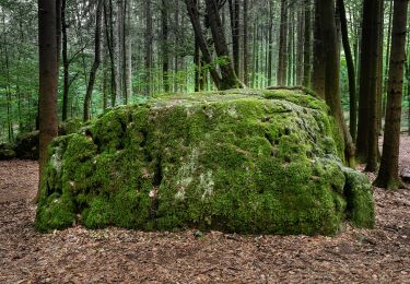
Rundwanderweg Birkenreuth-Wohlmannsgesees-Kanndorf


A pied
Facile
Wiesenttal,
Bavière,
Landkreis Forchheim,
Allemagne

6,7 km | 9,6 km-effort
2h 10min
Oui

Rundweg durch die Felsenschlucht


A pied
Facile
Wiesenttal,
Bavière,
Landkreis Forchheim,
Allemagne

6,5 km | 10,1 km-effort
2h 17min
Oui
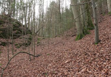
Rundweg Unterzaunsbach-Schweinthal


A pied
Facile
Pretzfeld,
Bavière,
Landkreis Forchheim,
Allemagne

6,4 km | 10,9 km-effort
2h 28min
Oui
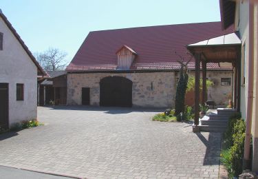
Rundweg um Morschreuth


A pied
Facile
Gößweinstein,
Bavière,
Landkreis Forchheim,
Allemagne

5,5 km | 7,2 km-effort
1h 38min
Oui
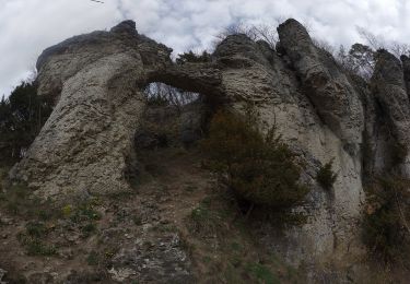
Morschreuth-Wolkenstein-Rödelfels


A pied
Facile
Gößweinstein,
Bavière,
Landkreis Forchheim,
Allemagne

4,6 km | 6,4 km-effort
1h 27min
Oui


 SityTrail


