


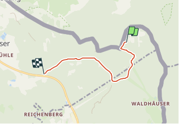

3,5 km | 4,5 km-effort


Tous les sentiers balisés d’Europe GUIDE+


Application GPS de randonnée GRATUITE
 SityTrail
IGN / Instituts géographiques
SityTrail World
Le monde est à vous
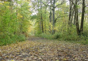
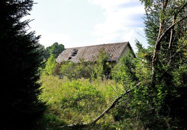
Randonnée A pied de 3,8 km à découvrir à Bavière, Landkreis Schwandorf, Schönsee. Cette randonnée est proposée par SityTrail - itinéraires balisés pédestres.
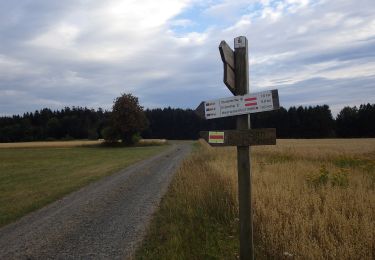
Symbole: auf gelben Grund in schwarz "41"
![Randonnée A pied Rybník - [M] Rybník - Rybník CZ/D - Photo](https://media.geolcdn.com/t/375/260/3e72288d-7700-4a27-9695-4c0fe2037764.jpeg&format=jpg&maxdim=2)
A pied
A pied
A pied
A pied
A pied