


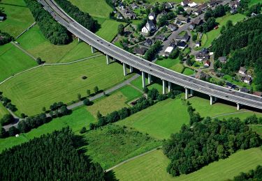
23 km | 31 km-effort

Tous les sentiers balisés d’Europe GUIDE+


Application GPS de randonnée GRATUITE
 SityTrail
IGN / Instituts géographiques
SityTrail World
Le monde est à vous
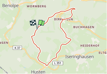
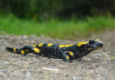
Randonnée A pied de 7,3 km à découvrir à Rhénanie-du-Nord-Westphalie, Kreis Olpe, Drolshagen. Cette randonnée est proposée par SityTrail - itinéraires balisés pédestres.
Randonnée créée par Sauerländischer Gebirgsverein.
Symbole: Weisses A8 auf schwarzem Grund
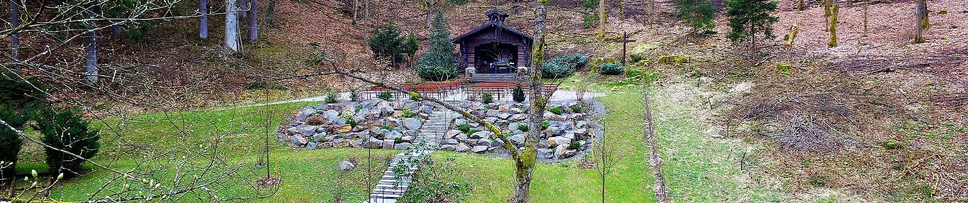
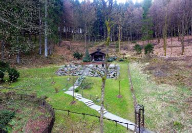
 - Photo 1")
A pied
A pied
A pied
A pied
![Randonnée A pied Reichshof - [12] Wacholderweg Eckenhagen - Photo](https://media.geolcdn.com/t/375/260/9032ef15-8ba3-440e-8561-25cdda2b27c1.jpeg&format=jpg&maxdim=2)
A pied

A pied
A pied
A pied