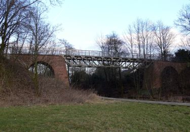
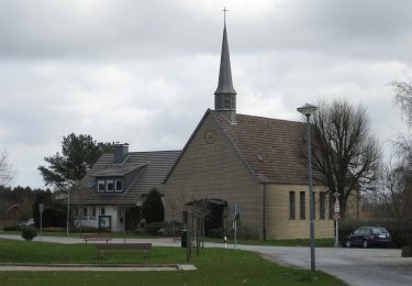
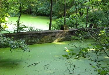
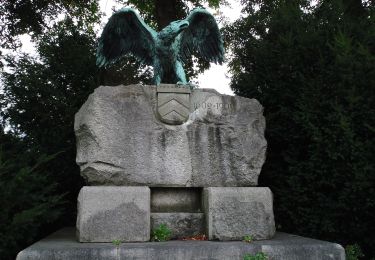
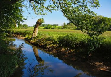
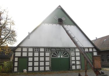
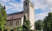
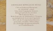
Randonnée A pied Inconnu - A4 - Jöllenbeck - Photo

Tous les sentiers balisés d’Europe GUIDE+

© OpenStreetMap contributors
Longueur
Longueur
5,6 km
Altitude max
Altitude max
157 m
Dénivelé positif
Dénivelé positif
65 m
Km-Effort
Km-Effort  
6,5 km
Altitude min
Altitude min
117 m
Dénivelé négatif
Dénivelé négatif
65 m
Boucle
Boucle
Oui
Balise
Balise
Date de création :
2022-02-11 14:38:49.551
Dernière modification :
2022-02-11 14:38:49.551

(0 Avis)

A pied
A pied
1h28
Difficulté : Facile

Scannez ce code QR pour ouvrir la randonnée dans l'application SityTrail

Application GPS de randonnée GRATUITE

Logo SityTrail SityTrail

IGN / Instituts géographiques

Télécharger SityTrail sur l'App Store Télécharger SityTrail sur Google Play

Logo SityTrail SityTrail World

Le monde est à vous

Télécharger SityTrail sur l'App Store Télécharger SityTrail sur Google Play Télécharger SityTrail sur Huawei AppGallery

À propos

Randonnée A pied de 5,6 km à découvrir à Rhénanie-du-Nord-Westphalie, Bielefeld, Inconnu. Cette randonnée est proposée par SityTrail - itinéraires balisés pédestres.

Description

Randonnée créée par Heimatverein Jöllenbeck.

Der Weg ist nur noch im Zentrum von Jöllenbeck markiert. Die übrige Markierung ist verblasst und wurde teils sogar absichtlich entfernt.

Profil altimétrique

Photos

Localisation

Pays :
Allemagne
Région :
Rhénanie-du-Nord-Westphalie
Département/Province :
Bielefeld
Commune :
Inconnu
Localité :
Jöllenbeck
Départ:(UTM)
467069 ; 5772018 (32U) N.

Randonnées à proximité

Randonnée A pied Inconnu - Leineweberweg - Photo
A pied
GUIDE+

A pied

Facile
Inconnu, Rhénanie-du-Nord-Westphalie, Bielefeld, Allemagne
6,9 km | 8,2 km-effort
1h 51min
Non
Randonnée A pied Werther - Häger 2 - Photo
A pied
GUIDE+

A pied

Facile
Werther, Rhénanie-du-Nord-Westphalie, Kreis Gütersloh, Allemagne
6,4 km | 7,6 km-effort
1h 43min
Non
Randonnée A pied Inconnu - A3 - Jöllenbeck - Photo
A pied
GUIDE+

A pied

Facile
Inconnu, Rhénanie-du-Nord-Westphalie, Bielefeld, Allemagne
9,6 km | 11,1 km-effort
2h 31min
Oui
Randonnée A pied Inconnu - Herfordweg - Photo
A pied
GUIDE+

A pied

Facile
Inconnu, Rhénanie-du-Nord-Westphalie, Bielefeld, Allemagne
13,9 km | 15,7 km-effort
3h 33min
Non
Randonnée A pied Inconnu - A2 - Jöllenbeck - Photo
A pied
GUIDE+

A pied

Facile
Inconnu, Rhénanie-du-Nord-Westphalie, Bielefeld, Allemagne
7,8 km | 9,3 km-effort
2h 7min
Non
Randonnée A pied Inconnu - A1 - Jöllenbeck - Photo
A pied
GUIDE+

A pied

Facile
Inconnu, Rhénanie-du-Nord-Westphalie, Bielefeld, Allemagne
5,5 km | 6,7 km-effort
1h 31min
Non
Randonnée A pied  - Häger RH - Photo
A pied
GUIDE+

A pied

Facile
, Rhénanie-du-Nord-Westphalie, Bielefeld, Allemagne
13,9 km | 16,5 km-effort
3h 45min
Oui
Randonnée A pied Werther - Häger 4 - Photo
A pied
GUIDE+

A pied

Facile
Werther, Rhénanie-du-Nord-Westphalie, Kreis Gütersloh, Allemagne
7,5 km | 8,7 km-effort
1h 59min
Oui
Randonnée A pied Werther - Häger 3 - Photo
A pied
GUIDE+

A pied

Facile
Werther, Rhénanie-du-Nord-Westphalie, Kreis Gütersloh, Allemagne
8,2 km | 9,5 km-effort
2h 9min
Oui


Fermer
Mes abonnements