


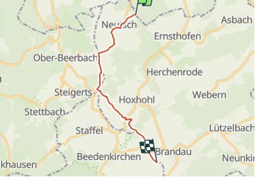

13,3 km | 18,1 km-effort


Tous les sentiers balisés d’Europe GUIDE+


Application GPS de randonnée GRATUITE
 SityTrail
IGN / Instituts géographiques
SityTrail World
Le monde est à vous
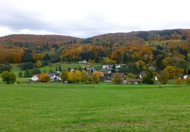
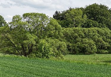
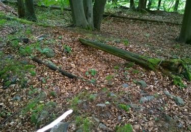
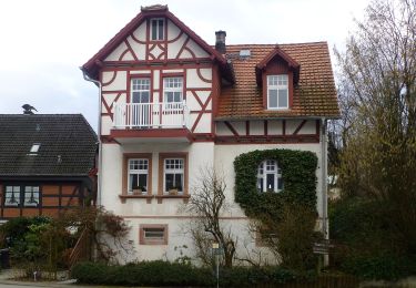
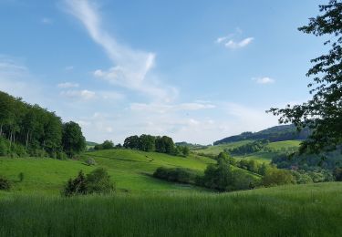
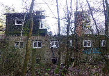
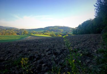
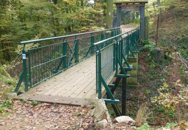
Randonnée A pied de 7,3 km à découvrir à Hesse, Landkreis Darmstadt-Dieburg, Ober-Ramstadt. Cette randonnée est proposée par SityTrail - itinéraires balisés pédestres.
Randonnée créée par Geo-Naturpark Bergstraße-Odenwald.
Symbole: white 1 in a white circle with M in a break at the top of the circle


A pied
A pied
A pied
A pied

A pied
A pied
A pied
A pied
A pied