


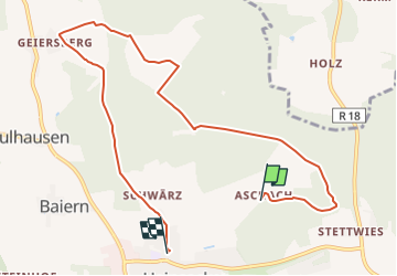

9,5 km | 12,3 km-effort

Tous les sentiers balisés d’Europe GUIDE+


Application GPS de randonnée GRATUITE
 SityTrail
IGN / Instituts géographiques
SityTrail World
Le monde est à vous
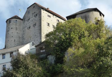
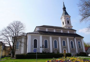
Randonnée A pied de 8,6 km à découvrir à Bavière, Landkreis Regensburg, Lappersdorf. Cette randonnée est proposée par SityTrail - itinéraires balisés pédestres.
Randonnée créée par Gemeinde Lappersdorf.
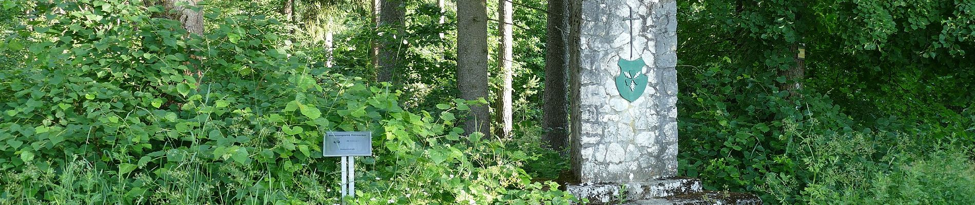
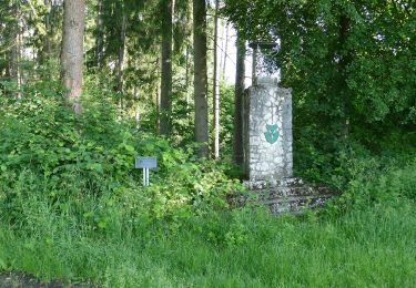
Symbole: Auf weißem, quadratischen Grund mit gelbem Rand eine schwarze Zeichnung der Kirche von Hainsacker; im Rand der schwarze Text "Besinnungsweg HAINSACKER"


A pied
A pied
A pied
A pied
A pied

A pied
A pied