


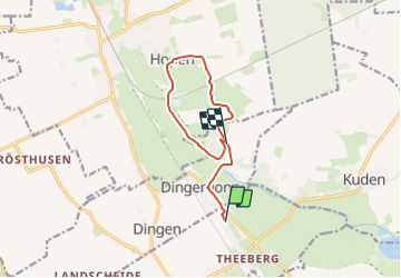

8,7 km | 9,1 km-effort

Tous les sentiers balisés d’Europe GUIDE+


Application GPS de randonnée GRATUITE
 SityTrail
IGN / Instituts géographiques
SityTrail World
Le monde est à vous
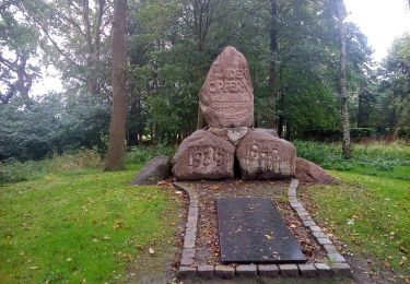
Randonnée A pied de 8,2 km à découvrir à Schleswig-Holstein, Dithmarschen, Eddelak. Cette randonnée est proposée par SityTrail - itinéraires balisés pédestres.
Randonnée créée par Fremdenverkehrsverein Eddelak-Michaelisdonn und Umgebung.
Symbole: Rote „4“ auf weißer, rot umrandeter Raute


A pied
A pied
A pied