


7,4 km | 7,8 km-effort


Tous les sentiers balisés d’Europe GUIDE+


Application GPS de randonnée GRATUITE
 SityTrail
IGN / Instituts géographiques
SityTrail World
Le monde est à vous
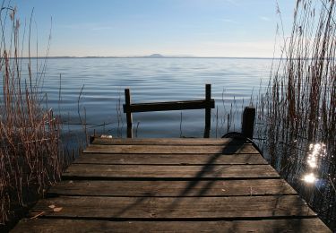
Randonnée A pied de 6,1 km à découvrir à Basse-Saxe, Hanovre (région), Neustadt am Rübenberge. Cette randonnée est proposée par SityTrail - itinéraires balisés pédestres.
Beim Wandern lässt sich die gesamte Vielfalt der Urlaubsregion Steinhuder Meer entdecken. Neben dem beliebten Rundweg von 32 Kilometern laden zahlreiche Wande
Site web: https://www.steinhuder-meer.de/f5-edit/?domain=www.steinhuder-meer.de&ebene=1372&fuseaction=artikel&lang=&show=detail&artikel=10829
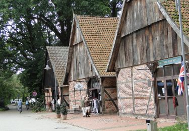
 - Photo 1")
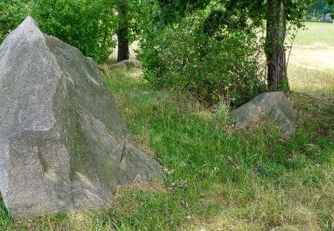
 - Photo 2")
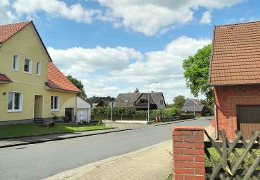
 - Photo 3")
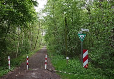
 - Photo 4")
 - Photo 5")
 - Photo 6")
 - Photo 7")
 - Photo 8")
 - Photo 9")
 - Photo 10")
A pied
A pied
A pied
A pied

A pied

A pied
A pied
A pied
A pied