


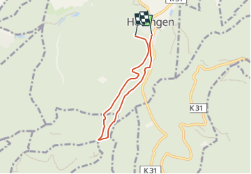

5,2 km | 7,1 km-effort

Tous les sentiers balisés d’Europe GUIDE+


Application GPS de randonnée GRATUITE
 SityTrail
IGN / Instituts géographiques
SityTrail World
Le monde est à vous
Randonnée A pied de 4,9 km à découvrir à Rhénanie-Palatinat, Landkreis Bad Dürkheim, Altleiningen. Cette randonnée est proposée par SityTrail - itinéraires balisés pédestres.
Symbole: weißer, ausgefüllter Kreis, Beschriftung "5" in schwarz
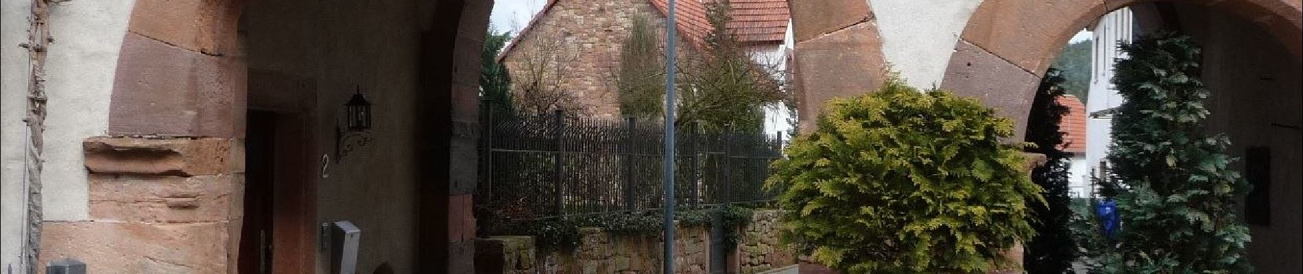
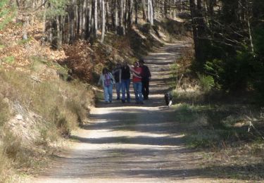
 - Photo 1")
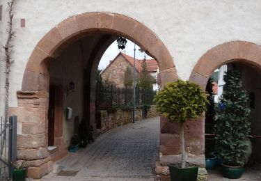
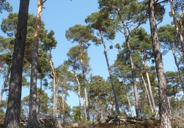
 - Photo 2")
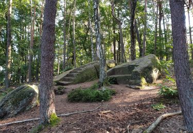
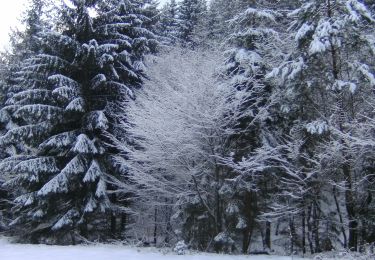
 - Photo 3")
A pied

A pied
A pied
A pied
A pied
A pied

A pied

A pied
A pied