


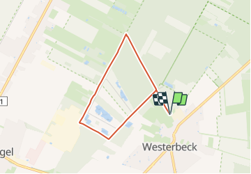

18,2 km | 19,5 km-effort

Tous les sentiers balisés d’Europe GUIDE+


Application GPS de randonnée GRATUITE
 SityTrail
IGN / Instituts géographiques
SityTrail World
Le monde est à vous
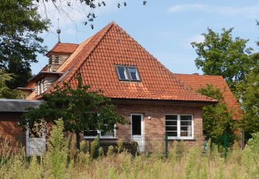
Randonnée A pied de 5,4 km à découvrir à Basse-Saxe, Gifhorn (arrondissement), Sassenburg. Cette randonnée est proposée par SityTrail - itinéraires balisés pédestres.
Randonnée créée par Natur- und KulturErlebnispfad Großes Moor e.V..
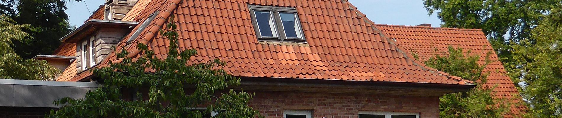
 - Photo 1")
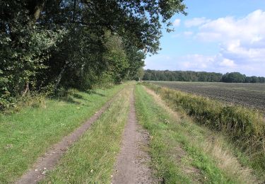
 - Photo 2")
A pied
A pied
A pied

A pied