


18 km | 23 km-effort

Tous les sentiers balisés d’Europe GUIDE+


Application GPS de randonnée GRATUITE
 SityTrail
IGN / Instituts géographiques
SityTrail World
Le monde est à vous
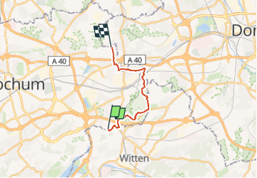
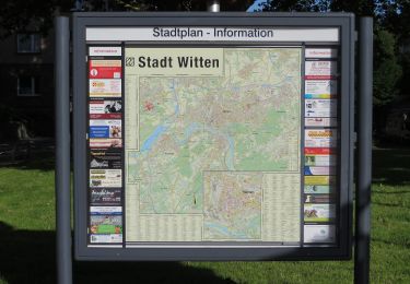
Randonnée A pied de 11,6 km à découvrir à Rhénanie-du-Nord-Westphalie, Ennepe-Ruhr-Kreis, Witten. Cette randonnée est proposée par SityTrail - itinéraires balisés pédestres.
Randonnée créée par Sauerländischer Gebirgsverein.
Symbole: Weiße Schrift auf schwarz
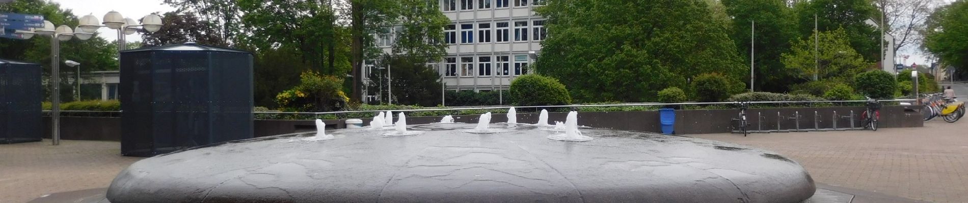
 Rund um Bochum - Photo 1")
 Rund um Bochum - Photo 2")
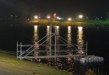
 Rund um Bochum - Photo 3")
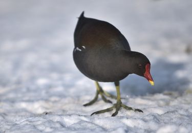
 Rund um Bochum - Photo 4")
 Rund um Bochum - Photo 5")
 Rund um Bochum - Photo 6")
 Rund um Bochum - Photo 7")
 Rund um Bochum - Photo 8")
 Rund um Bochum - Photo 9")
 Rund um Bochum - Photo 10")
![Randonnée A pied Witten - [Δ] Witten - Grundschöttel - Photo](https://media.geolcdn.com/t/375/260/2e64de42-6724-4fef-8c50-11bf465b833c.jpeg&format=jpg&maxdim=2)
A pied

A pied
A pied
A pied

A pied
A pied
A pied
A pied

A pied