


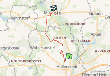

9,7 km | 11 km-effort


Tous les sentiers balisés d’Europe GUIDE+


Application GPS de randonnée GRATUITE
 SityTrail
IGN / Instituts géographiques
SityTrail World
Le monde est à vous
Randonnée A pied de 6,2 km à découvrir à Basse-Saxe, Harbourg (arrondissement), Hollenstedt. Cette randonnée est proposée par SityTrail - itinéraires balisés pédestres.
Ausflugsziele, Freizeit und Übernachten in der Nordheide, dem nördlichen Teil der Lüneburger Heide, verkehrsgünstig in der Nähe von Hamburg
Site web: https://regionalpark-rosengarten.de/


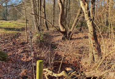
A pied

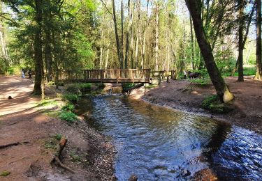
A pied
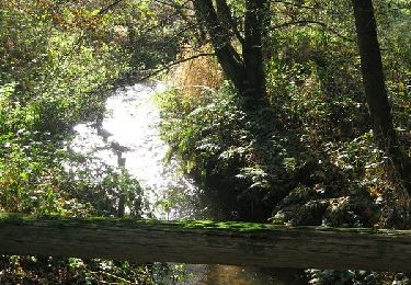
A pied
A pied

A pied