![](/images/other/stat-length.png)
![Randonnée A pied Niddatal - Wallfahrtsweg - Photo](https://media.geolcdn.com/t/1900/400/401e36c3-d38b-4d9e-b730-ea4dca0312b6.jpeg&format=pjpeg&maxdim=2)
Wallfahrtsweg
SityTrail - itinéraires balisés pédestres
Tous les sentiers balisés d’Europe GUIDE+
![Longueur](/images/other/stat-length.png)
Longueur
32 km
![Altitude max](https://static1.geolcdn.com/siteimages/upload/files/1508320355ic_sort_altitude_max_24dp.png)
Altitude max
277 m
![Dénivelé positif](https://static1.geolcdn.com/siteimages/upload/files/1508320355ic_sort_den_pos_24dp.png)
Dénivelé positif
677 m
![Km-Effort](/images/other/stat-length.png)
Km-Effort
40 km
![Altitude min](https://static1.geolcdn.com/siteimages/upload/files/1508320355ic_sort_altitude_min_24dp.png)
Altitude min
124 m
![Dénivelé négatif](https://static1.geolcdn.com/siteimages/upload/files/1508320355ic_sort_den_neg_24dp.png)
Dénivelé négatif
611 m
![Boucle](https://static1.geolcdn.com/siteimages/upload/files/16400158638029165_repeat_loop_refresh_sync_direction_icon.png)
Boucle
Non
Balise
Date de création :
2022-02-11 14:00:06.308
Dernière modification :
2022-02-11 14:00:06.308
![A pied](https://static1.geolcdn.com/sitytour/trail-icons/100.png)
9h11
Difficulté : Difficile
![Scannez ce code QR pour ouvrir la randonnée dans l'application SityTrail](https://capi.geolives.com/qq0zvz2zws4bq2lad0pu/sitytour/trails/3091734/qr.png?size=200)
Application GPS de randonnée GRATUITE
À propos
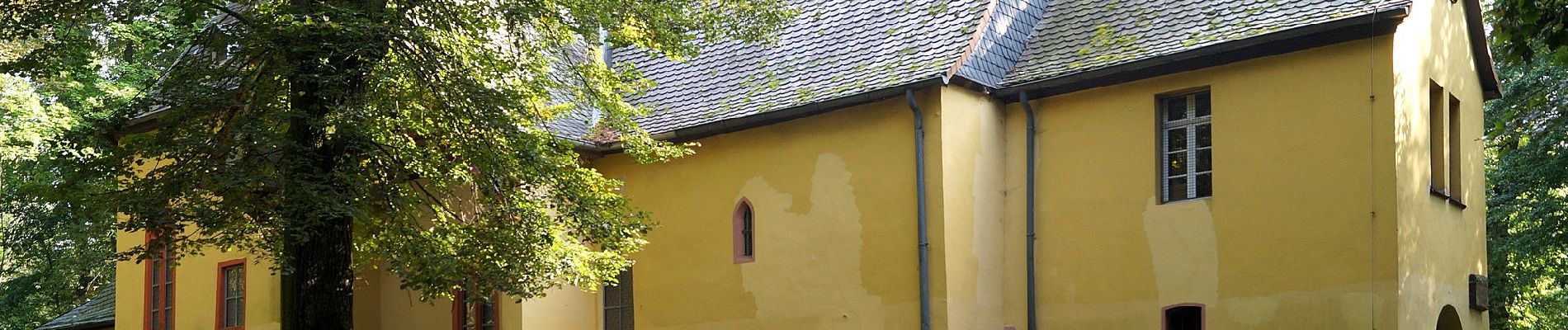
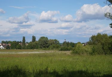
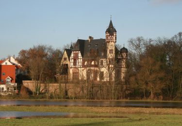
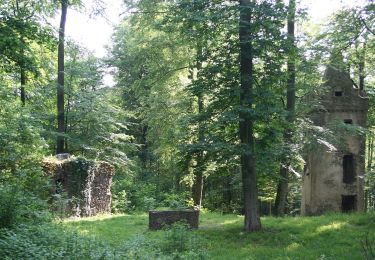
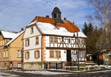
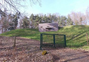
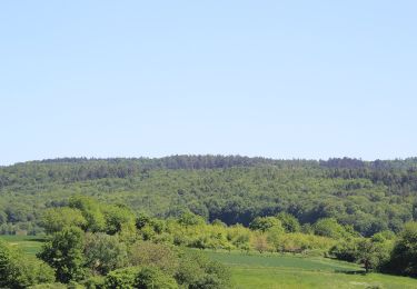
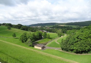
Randonnée A pied de 32 km à découvrir à Hesse, Wetteraukreis, Niddatal. Cette randonnée est proposée par SityTrail - itinéraires balisés pédestres.
Description
Randonnée créée par Vogelsberger Höhenclub.
Symbole: white_minus on black
Site web: http://vhc-gesamtverein.de/wp-content/uploads/2015/03/Prospekt_Wanderweg1.pdf
Localisation
Pays :
Allemagne
Région :
Hesse
Département/Province :
Wetteraukreis
Commune :
Niddatal
Localité :
Assenheim
Départ:(Dec)
Départ:(UTM)
490146 ; 5572524 (32U) N.
Commentaires
Randonnées à proximité
![Randonnée A pied Bruchköbel - 5-Sterne-Wanderweg Bruchköbel - Photo](https://media.geolcdn.com/t/375/260/46cd4dbc-faa0-41bf-9855-f30e6c57040a.jpeg&format=jpg&maxdim=2)
![A pied A pied](https://static1.geolcdn.com/sitytour/trail-icons/100.png)
5-Sterne-Wanderweg Bruchköbel
A pied
Difficile
Bruchköbel,
Hesse,
Main-Kinzig-Kreis,
Allemagne
![](/images/other/stat-length.png)
29 km | 33 km-effort
7h 31min
![](https://static1.geolcdn.com/siteimages/upload/files/16400158638029165_repeat_loop_refresh_sync_direction_icon.png)
Oui
![Randonnée A pied Bruchköbel - Bruchköbel Wanderweg 9 - Photo](https://media.geolcdn.com/t/375/260/95045a03-ddfb-484c-adf0-ed04c67f4fde.jpeg&format=jpg&maxdim=2)
![A pied A pied](https://static1.geolcdn.com/sitytour/trail-icons/100.png)
Bruchköbel Wanderweg 9
A pied
Facile
Bruchköbel,
Hesse,
Main-Kinzig-Kreis,
Allemagne
![](/images/other/stat-length.png)
3,5 km | 3,8 km-effort
51min
![](https://static1.geolcdn.com/siteimages/upload/files/16400158638029165_repeat_loop_refresh_sync_direction_icon.png)
Non
![Randonnée A pied Schöneck - Schöneck Landschaftsweg (Halbmarathonroute) - Photo](https://media.geolcdn.com/t/375/260/62b0332a-a4c4-495c-b7a1-cba4d268cc54.jpeg&format=jpg&maxdim=2)
![A pied A pied](https://static1.geolcdn.com/sitytour/trail-icons/100.png)
Schöneck Landschaftsweg (Halbmarathonroute)
A pied
Moyen
Schöneck,
Hesse,
Main-Kinzig-Kreis,
Allemagne
![](/images/other/stat-length.png)
21 km | 24 km-effort
5h 34min
![](https://static1.geolcdn.com/siteimages/upload/files/16400158638029165_repeat_loop_refresh_sync_direction_icon.png)
Oui
![Randonnée A pied Hanau - Spessartspuren - Niederrodenbach - Barbarossaquelle und Klosterruine - Photo](https://media.geolcdn.com/t/375/260/582999f3-e5b8-4ba5-8b9c-1d0ab3958527.jpeg&format=jpg&maxdim=2)
![A pied A pied](https://static1.geolcdn.com/sitytour/trail-icons/100.png)
Spessartspuren - Niederrodenbach - Barbarossaquelle und Klosterruine
A pied
Facile
Hanau,
Hesse,
Main-Kinzig-Kreis,
Allemagne
![](/images/other/stat-length.png)
10 km | 11,4 km-effort
2h 35min
![](https://static1.geolcdn.com/siteimages/upload/files/16400158638029165_repeat_loop_refresh_sync_direction_icon.png)
Non
![Randonnée A pied Hasselroth - Spessartspuren - Neuenhaßlauer Ysenburg-Runde - Photo](https://media.geolcdn.com/t/375/260/2c041be9-e260-4358-b852-b0670ff23424.jpeg&format=jpg&maxdim=2)
![A pied A pied](https://static1.geolcdn.com/sitytour/trail-icons/100.png)
Spessartspuren - Neuenhaßlauer Ysenburg-Runde
A pied
Facile
Hasselroth,
Hesse,
Main-Kinzig-Kreis,
Allemagne
![](/images/other/stat-length.png)
5,3 km | 6,7 km-effort
1h 31min
![](https://static1.geolcdn.com/siteimages/upload/files/16400158638029165_repeat_loop_refresh_sync_direction_icon.png)
Oui
![Randonnée A pied Hasselroth - Spessartspuren - Niedermittlauer Berkopp Runde - Photo](https://media.geolcdn.com/t/375/260/3e623794-157c-40b8-a2d8-4cb5e8847430.jpeg&format=jpg&maxdim=2)
![A pied A pied](https://static1.geolcdn.com/sitytour/trail-icons/100.png)
Spessartspuren - Niedermittlauer Berkopp Runde
A pied
Facile
Hasselroth,
Hesse,
Main-Kinzig-Kreis,
Allemagne
![](/images/other/stat-length.png)
4,2 km | 5,7 km-effort
1h 17min
![](https://static1.geolcdn.com/siteimages/upload/files/16400158638029165_repeat_loop_refresh_sync_direction_icon.png)
Oui
![Randonnée A pied Freigericht - Spessartspuren - Somborner Hügelland-Spur - Photo](https://media.geolcdn.com/t/375/260/2fd25fb0-9331-491e-9593-ed0fc43d9430.jpeg&format=jpg&maxdim=2)
![A pied A pied](https://static1.geolcdn.com/sitytour/trail-icons/100.png)
Spessartspuren - Somborner Hügelland-Spur
A pied
Facile
Freigericht,
Hesse,
Main-Kinzig-Kreis,
Allemagne
![](/images/other/stat-length.png)
7,2 km | 9,1 km-effort
2h 3min
![](https://static1.geolcdn.com/siteimages/upload/files/16400158638029165_repeat_loop_refresh_sync_direction_icon.png)
Oui
![Randonnée A pied Schotten - Rundwanderweg Rainrod R2 - Photo](https://media.geolcdn.com/t/375/260/9aa226d7-ffac-480f-81ba-14986b0a79a5.jpeg&format=jpg&maxdim=2)
![A pied A pied](https://static1.geolcdn.com/sitytour/trail-icons/100.png)
Rundwanderweg Rainrod R2
A pied
Facile
Schotten,
Hesse,
Vogelsbergkreis,
Allemagne
![](/images/other/stat-length.png)
5 km | 6,5 km-effort
1h 28min
![](https://static1.geolcdn.com/siteimages/upload/files/16400158638029165_repeat_loop_refresh_sync_direction_icon.png)
Non
![Randonnée A pied Schotten - Rundwanderweg Rainrod R1 - Photo](https://media.geolcdn.com/t/375/260/64291428-b116-4a2b-a097-30124e3546e8.jpeg&format=jpg&maxdim=2)
![A pied A pied](https://static1.geolcdn.com/sitytour/trail-icons/100.png)
Rundwanderweg Rainrod R1
A pied
Facile
Schotten,
Hesse,
Vogelsbergkreis,
Allemagne
![](/images/other/stat-length.png)
7,2 km | 8,9 km-effort
2h 1min
![](https://static1.geolcdn.com/siteimages/upload/files/16400158638029165_repeat_loop_refresh_sync_direction_icon.png)
Non