


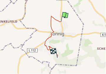

7,9 km | 11,2 km-effort


Tous les sentiers balisés d’Europe GUIDE+


Application GPS de randonnée GRATUITE
 SityTrail
IGN / Instituts géographiques
SityTrail World
Le monde est à vous
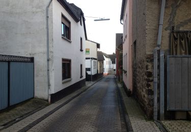
Randonnée A pied de 3,1 km à découvrir à Rhénanie-Palatinat, Landkreis Mayen-Koblenz, Lonnig. Cette randonnée est proposée par SityTrail - itinéraires balisés pédestres.
Randonnée créée par Ortsgemeinde Lonnig, Oberdorfstr. 30, 56295 Lonnig.
Symbole: Wegweiser mit der Aufschrift "Rundweg Lonnig"
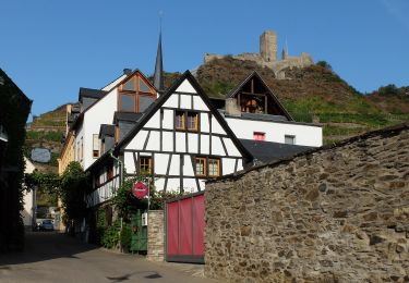
A pied
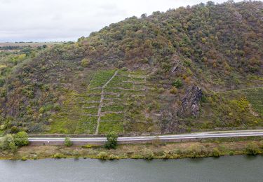
A pied
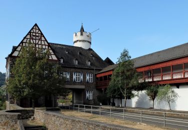
A pied

A pied
A pied

Marche